The book chapter “Fundamentals of remote sensing for terrestrial applications: Evolution, current state of the art, and future possibilities” lead by Angela Oppelt got published in the book “Remote Sensing Handbook” by Thenkabail. It is outlining the evolution of terrestrial remote sensing applications, state of the art of multisensor data, applications, data policy and availability. Development of indices and quantitative assessment of environmental parameters is covered as well as SAR imaging. Future possibilities are highlighted as well. It is written by Natascha Oppelt, Rolf Schreiber, Peter Gege, Martin Wegmann, Hannes Taubenboeck and Michael Berger.
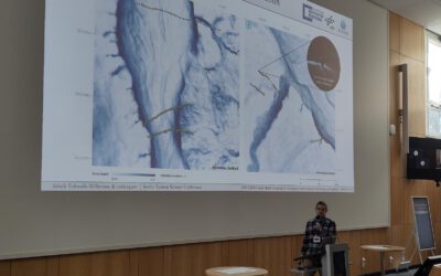
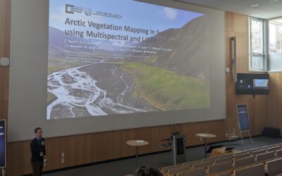
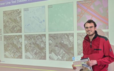
Mapping snow-ecosystem interactions from UAS: EORC at Arctic System Science Conference 2026
This week, the Arctic System Science Conference 2026 has been taking place in Potsdam. Hosted by the Alfred Wegener Institute (AWI), the conference offers a place for researchers to exchange on past, present and future scientific research of the Arctic system –...