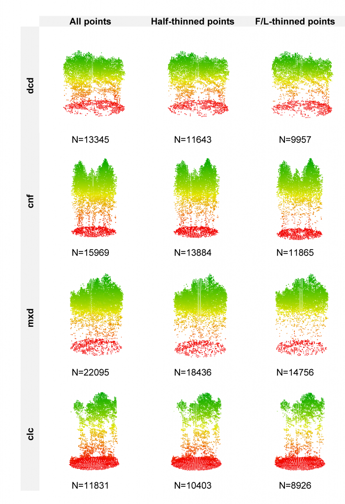
In a recently-published paper in Forestry featuring Hooman Latifi, Steven Hill and Stefan Dech from the Dept. of Remote Sensing, further advancements have been reported in developing unbiased statistical models for area-based estimation of forest understorey layers using LiDAR point cloud information. The study leveraged an original high-density LiDAR point cloud, which was further processed to simulate two lower-density datasets by applying a thining approach. The data were then combnined with three statistical modeling approaches to estimate the proportions of shrub, herb and moss layers in temperate forest stands in southeastern Germany.
Despite the differences between our simulated data and the real-world LiDAR point clouds
of different point densities, the results of this study are thought to mostly reflect how LiDAR and forest habitat data can be combined for deriving ecologically relevant information on temperate forest understorey vegetation layers. This, in turn, increases the applicability of prediction results for overarching aims such as forest and wildlife management.
Further informaiton on the published paper can be retrieved here.
Bibliography:
Latifi, H., Hill, S., Schumann, B., Heurich, M., Dech, S. 2017. Multi-model estimation of understorey shrub, herb and moss cover in temperate forest stands by laser scanner data. Forestry, DOI:10.1093/forestry/cpw066


