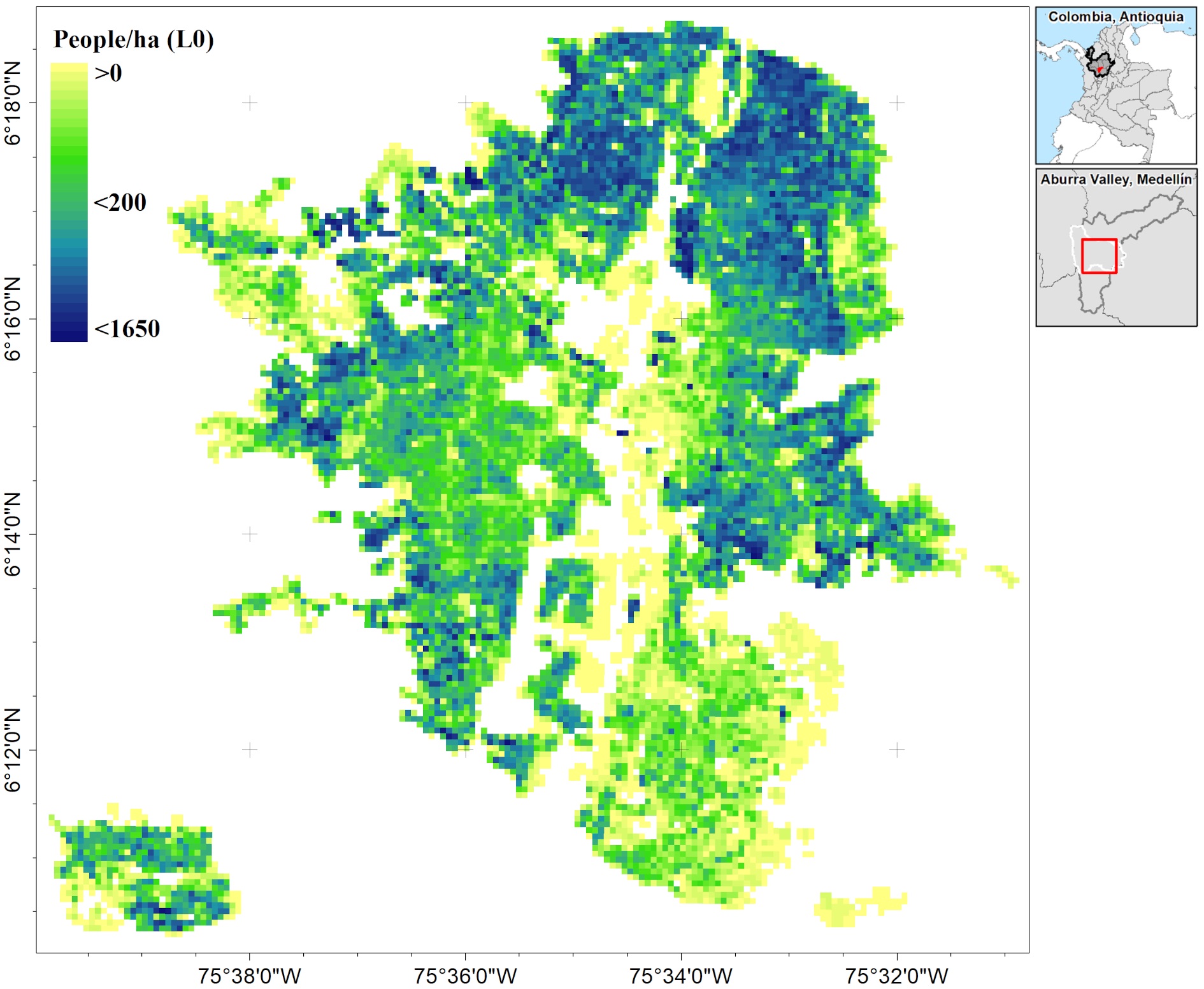
A new article by Hannes Taubenböck and his team got published “Empiric recommendations for population disaggregation under different data scenarios” in PLOS One. From the abstract: “High-resolution population mapping is of high relevance for developing and implementing tailored actions in several fields: From decision making in crisis management to urban planning. Earth Observation has considerably contributed to the development of methods for disaggregating population figures with higher resolution data into fine-grained population maps. However, which method is most suitable on the basis of the available data, and how the spatial units and accuracy metrics affect the validation process is not fully known. We aim to provide recommendations to researches that attempt to produce high-resolution population maps using remote sensing and geospatial information in heterogeneous urban landscapes. For this purpose, we performed a comprehensive experimental research on population disaggregation methods with thirty-six different scenarios. We combined five different top-down methods (from basic to complex, i.e., binary and categorical dasymetric, statistical, and binary and categorical hybrid approaches) on different subsets of data with diverse resolutions and degrees of availability (poor, average and rich). Then, the resulting population maps were systematically validated with a two-fold approach using six accuracy metrics. We found that when only using remotely sensed data the combination of statistical and dasymetric methods provide better results, while highly-resolved data require simpler methods. Besides, the use of at least three relative accuracy metrics is highly encouraged since the validation depends on level and method. We also analysed the behaviour of relative errors and how they are affected by the heterogeneity of the urban landscape. We hope that our recommendations save additional efforts and time in future population mapping.”
read the full article here https://journals.plos.org/plosone/article?id=10.1371/journal.pone.0274504
Sapena M, Kühnl M, Wurm M, Patino JE, Duque JC, Taubenböck H (2022) Empiric recommendations for population disaggregation under different data scenarios. PLoS ONE 17(9): e0274504. https://doi.org/10.1371/journal.pone.0274504


