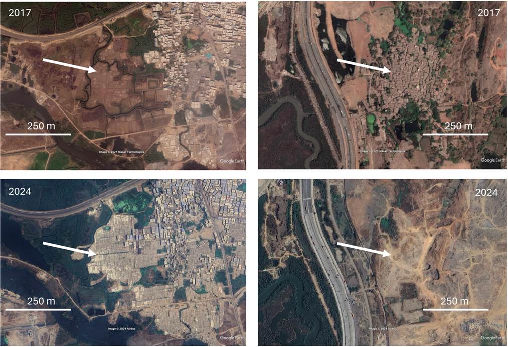

Researchers from the Technical University of Darmstadt, the Earth Observation Center (EOC) of the German Aerospace Center (DLR) in Oberpfaffenhofen and our Earth Observation Research Cluster of the University Würzburg teamed up for a study on the spatiotemporal dynamics slums. The paper titled “The Spatiotemporal Dynamics of Morphological Slums in Mumbai, India” was just published in the IEEE Journal of Selected Topics in Applied Earth Observations and Remote Sensing by John Friesen, Nicolas J. Kraff and Hannes Taubenböck. This study has been conducted as part of the research project “Uniform detection and modelling of slums to determine infrastructure needs” (Grant ID: LOEWE/5/A002/519/06/00.003(0003)/E15) funded by the LOEWE Program of Hesse State Ministry for Higher Education, Research and the Arts.
Here is the abstract of the paper: Our knowledge of the spatial distribution of slums has increased enormously in recent years through research from remote sensing and other sources, although it is still incomplete and fraught with uncertainties. The physical development of slums over time and the estimation of dynamics in slum population, however, is still little addressed in research. We analyse these dynamics in the South Asian city of Mumbai, India. We capture the spatial extent of slums at the time of three years (2005, 2010 and 2022) using manual visual image interpretation. We merge this spatial information with accepted and globally available gridded population data sets to estimate the population living in morphological slums. We see spatio-temporal dynamics of both, areas and population and thereby identify clear trends: instead of showing uncontrolled urban expansion, morphological slums are areas that undergo phases of deconstruction and reconstruction. We see the dynamics are the highest in existing and not in newly emerged slums.
Here is the early access link to the full paper: https://ieeexplore.ieee.org/document/10613006