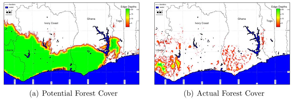

 Our MEE paper on the r.pi GRASS package is now available online: “r.pi: a GRASS GIS package for semi-automatic spatial pattern analysis of remotely sensed land cover data”. This package allows a wide range of spatial pattern analysis from individual based dispersal models to graph theory or omni-directional connectivity metrics. It is part of the GRASS software and all outputs are provided in spatial formats and can be used for further processing in any spatial software such as GRASS, QGIS or R.
The full publication can be accessed here: