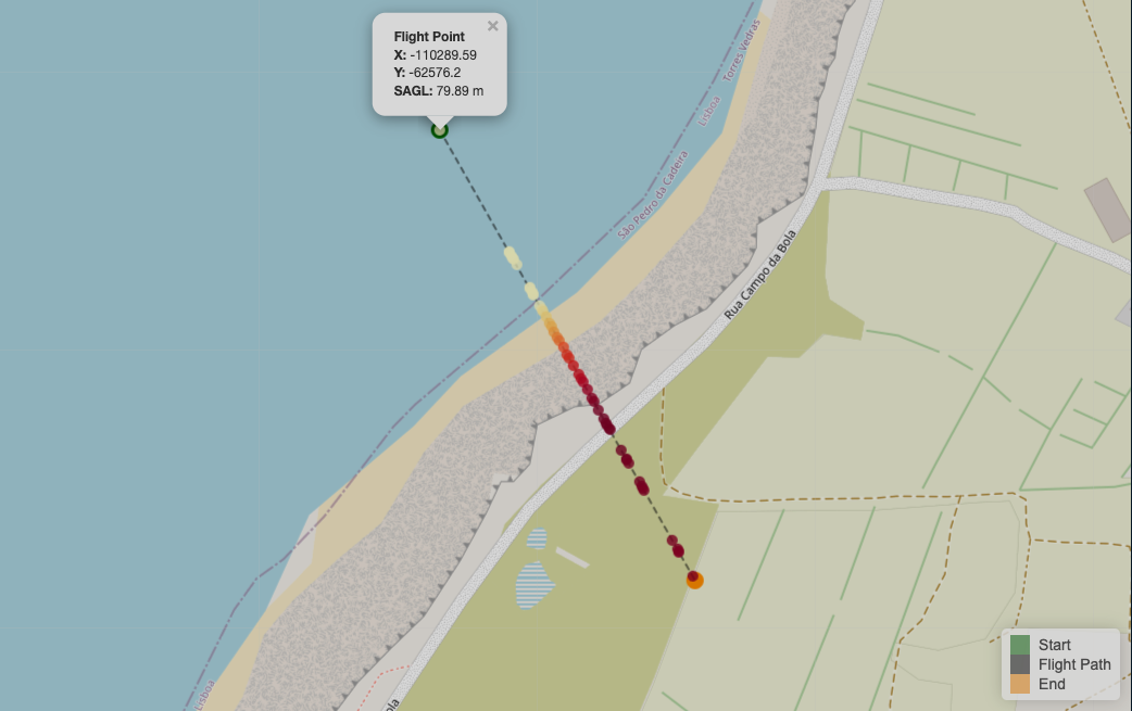
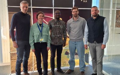
We’re excited to share the development of a new R package created by our PhD student, Antonio Castaneda Gomez, whose contributions to Uncrewed Aerial Systems (UAS) research continue to impress. Known as the brain behind many of our UAS data collection missions—especially those focused on complex Area of Interests located within challenging landscapes like cliffs—Antonio has turned his hands-on field expertise into a practical programming tool.
This newly released R package streamlines mission planning, flight route generation, and above-ground-level (AGL) analysis—core challenges in aerial data collection, particularly in areas with significant vertical relief. Initially developed to support our specific research, the package now stands as a valuable asset that could benefit other researchers working with UAS in similarly demanding environments.
Antonio’s ability to bridge fieldwork challenges with thoughtful computational solutions is a great example of how technical skill and domain expertise come together in graduate research. It’s especially rewarding to see how solutions born out of necessity in individual projects can evolve into tools that support the wider scientific community.
https://github.com/ajcastanedag/SMARTAGL
Stay tuned—we’ll be sharing more about the package and the actual research, including how to access and use it, in the near future.

