SATELLITE REMOTE SENSING FOR CONSERVATION: FROM
SUCCESSFUL CASE STUDIES TO GLOBAL IMPLEMENTATION
our special session at ICCB-ECCB 2015 – August 2-6, Montpellier, France, got accepted
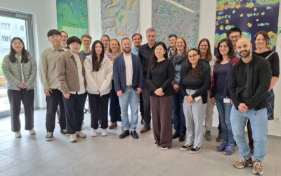
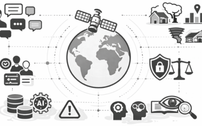
Satellite remote sensing (SRS) provides a wealth of opportunities to monitor the different constituents of the planet’s natural environment, allowing access to standardized, global, continuous data directly relevant to the monitoring of, and pressures on, biodiversity. Because of this, satellite-based information can underpin the construction of useful indicators of ecological change that measure past ecological impacts and provide early warning signs of impending change. Such information could facilitate the implementation of a number of international, regional and national environmental agreements and policies, and various initiatives (e.g., essential biodiversity variables initiative from GEO-BON; ![]() Biodiversity task from the Committee on Earth Observations Satellites) are currently trying to maximise such a potential. The methods, costs and benefits of traditional biodiversity indicators are however relatively familiar to environmental decision makers, as opposed to the financial and technical challenges, as well as the complexity associated with the various components of SRS. This may ultimately preclude the adoption of SRS by environmental legislators. In order to gain widespread support for the use of SRS in management and conservation, satellite data and analyses need to become more accessible to the community of ecologists. Training opportunities in SRS tailored to the biodiversity and conservation community also need to become more common, as the current lack of training opportunities hampers the emergence of a new generation of scientists able to carry out integrated, multi-disciplinary approaches. Organised by: Nathalie Pettorelli & Martin Wegmann
Biodiversity task from the Committee on Earth Observations Satellites) are currently trying to maximise such a potential. The methods, costs and benefits of traditional biodiversity indicators are however relatively familiar to environmental decision makers, as opposed to the financial and technical challenges, as well as the complexity associated with the various components of SRS. This may ultimately preclude the adoption of SRS by environmental legislators. In order to gain widespread support for the use of SRS in management and conservation, satellite data and analyses need to become more accessible to the community of ecologists. Training opportunities in SRS tailored to the biodiversity and conservation community also need to become more common, as the current lack of training opportunities hampers the emergence of a new generation of scientists able to carry out integrated, multi-disciplinary approaches. Organised by: Nathalie Pettorelli & Martin Wegmann
presenters:
- USING EARTH OBSERVATIONS TO MANAGE PROTECTED ECOSYSTEMS
Nestor Fernandez et al. - SATELLITE REMOTE SENSING, FRONTAL ZONES AND THE IDENTIFICATION OF PRIORITY CONSERVATION AREAS IN THE OCEANS
Kylie Scales et al. - TOWARDS SUSTAINED, LONG-TERM AND GLOBAL OBSERVATIONS OF LAND COVER CHANGE FOR BIODIVERSITY CONSERVATION
Brian O’Connor et al. - CITIZEN SCIENCE MEETS SATELLITE REMOTE SENSING: OPPORTUNITIES FOR LAND COVER MAPPING
Doreen Boyd et al. - REMOTELY-SENSED ESSENTIAL BIODIVERSITY VARIABLES
Andrew Skidmore et al. - SATELLITE REMOTE SENSING AND ENVIRONMENTAL POLICY
Nathalie Pettorelli & Martin Wegmann