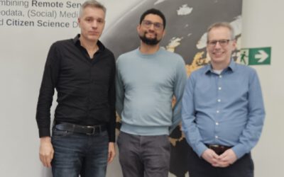
At the 14th Advanced Training Course on Land Remote Sensing – Agriculture, held from 29 September to 3 October in Thessaloniki, researchers, early-career scientists, and experts from across Europe gathered to exchange knowledge on the latest advances in remote sensing for agricultural monitoring.
Among the notable presentations was the work of Dr. Maninder Singh Dhillon, who shared findings from his recent study titled “How do Landscape, Climate, and Soil Shape Crop Biomass?” The EO4cam project research focuses on agroecological systems in Bavaria, Germany, exploring how spatial heterogeneity in landscape, climatic variability, and soil characteristics collectively influence the dynamics of crop biomass.
Using a Random Forest–based remote sensing approach, Dr. Dhillon’s study brings forward spatially explicit insights that hold practical relevance for sustainable agricultural planning, particularly in the face of environmental and climatic changes. The results underline the importance of integrated, data-driven approaches to understand agricultural productivity at the landscape scale.
The study adds to a growing body of work aiming to bridge ecological complexity with actionable strategies in land management. For researchers and practitioners engaged in remote sensing and agroecology, the findings offer a compelling case for the continued development of geospatial tools that inform policy and practice.
The full publication is available open-access via Frontiers in Plant Science:
👉 Read the article
Referenced publication: www.frontiersin.org/journals/plant-science/articles/10.3389/fpls.2025.1630087/full