
Keynote presentation at the Advanced Urban Remote Sensing Workshop in Hongkong, China
The Advanced Urban Remote Sensing Workshop is currently (3rd and 4th of December 2022) held in Hongkong, China. The workshop, organized by the University of Hongkong and IEEE GRSS, aims at introducing the status, development, advances, opportunities, and challenges in urban remote sensing. The conference chairs Prof. Peng Gong and Prof. Qihao Weng bring together the leading scientists from academic institutions and end users from the industry for a comprehensive urban remote sensing discussion and in-situ field survey experience.
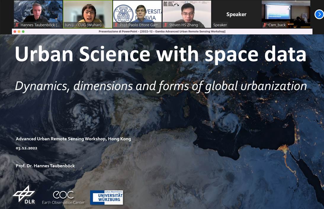
Prof. Dr. Hannes Taubenböck gave a keynote lecture titled “Urban Science with Space Data – Dynamics, dimensions and forms of global urbanization” promoting remote sensing data, mapping products and applications for new findings in urban geography. In his presentation, he introduced a new ranking of the largest cities in the world based on EO-data which deviates from official UN-statistics. And, he discussed the implications of different settlement types on our environment. This presentation was followed by a keynote lecture given by Prof. Dr. Paolo Gamba from the University of Pavia in Italy. Through both presentations, capabilities and challenges of remote sensing data, methodological and application aspects for urban geography were discussed and illustrated.