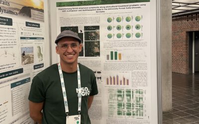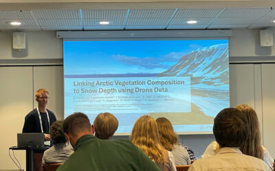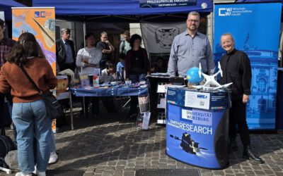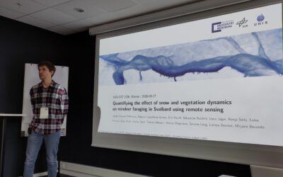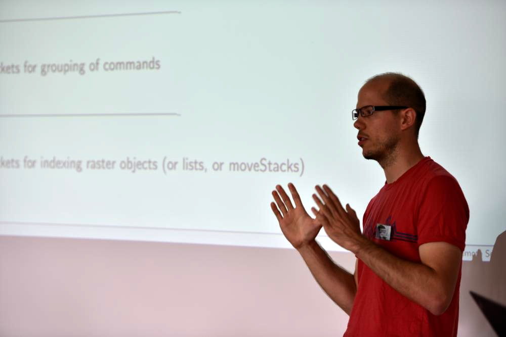

 Our colleagues Benjamin Leutner and Martin Wegmann (edt. of “Remote Sensing and GIS for Ecologists“) introduced the AniMove participants into remote sensing application for animal movement analysis at AniMove 2017. They covered the background as well as hands-on exercises using R and various own R packages such as RStoolbox, rsMove and moveVis and empowered the participants to acquire environmental information about their study area which was then being used to explain the space use of their study animals. Many impressive analysis and huge progress within this summer school could be seen and the AniMove lecturer are keen to see these new skills being used in various scientific projects.


MSc Thesis Defense: “Mapping and Structural Assessment of Woody Vegetation in Bavaria Using Digital Elevation Models and Multisource Geodata”
On Monday, 28.09.26, at 12 p.m., Henning Riecken will present his MSc thesis on “Mapping and Structural Assessment of Woody Vegetation in Bavaria Using Digital Elevation Models and Multisource Geodata” in in seminar room 3, John-Skilton-Str. 4a. From the abstract:...