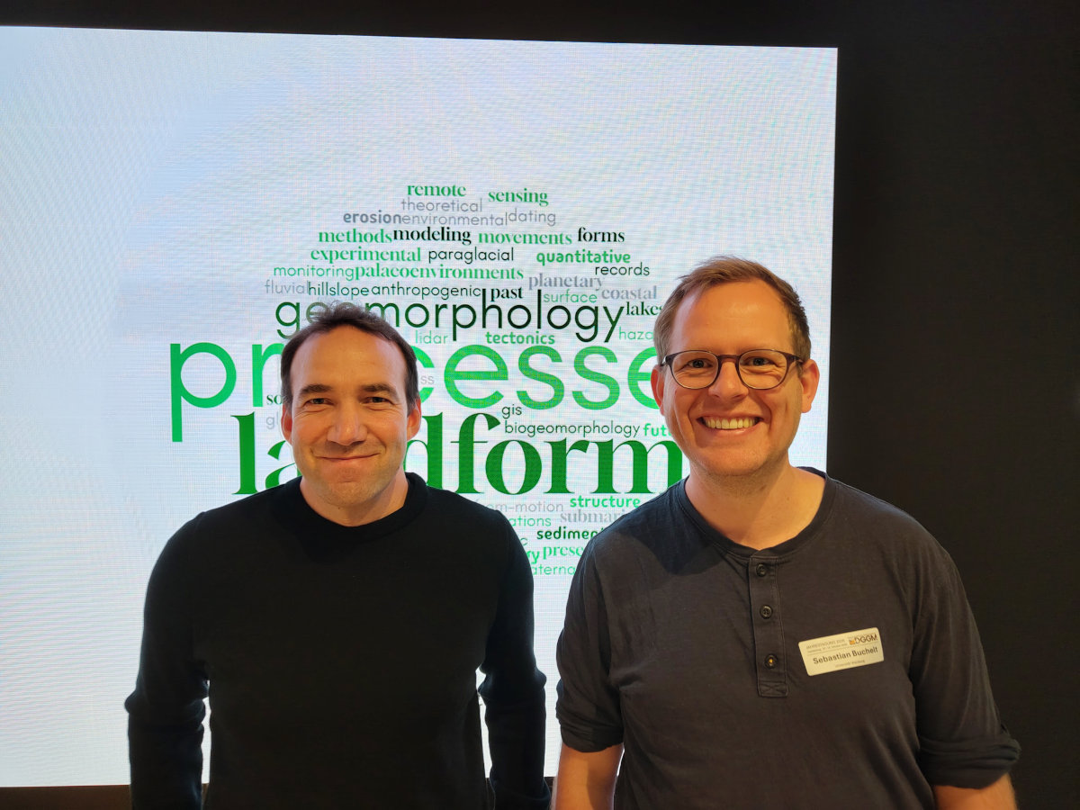

Sebastian Buchelt and Florian Betz from the Earth Observation Research Cluster (EORC) at the University of Würzburg presented their latest research at the annual meeting of the German Society for Geomorphology (DGGM). Both contributions highlighted the growing potential of satellite remote sensing for monitoring and understanding geomorphological processes in dynamic environments.
Sebastian Buchelt presented his research on DInSAR-based monitoring of rock glaciers, demonstrating how satellite radar observations can contribute to monitoring Essential Climate Variables and improving our understanding of changes in mountain permafrost environments.
Florian Betz presented recent advances in river remote sensing, focusing on two innovative approaches: the use of Earth observation embeddings to characterize river dynamics and the fusion of Sentinel-2 and UAV imagery to map river corridor characteristics at high spatial resolution. Both approaches demonstrate the potential of new Earth observation technologies and artificial intelligence for studying fluvial processes across spatial scales.
A particular highlight was the Best Presentation Award, which was awarded to Florian Betz for his contribution.
The meeting provided an excellent opportunity to exchange ideas with the geomorphological research community and discuss new perspectives for integrating Earth observation into geomorphological research.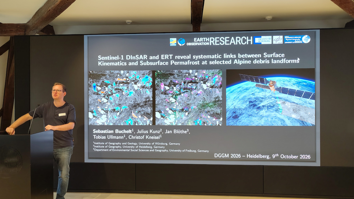
Sebastian Buchelt presented his research on DInSAR-based monitoring of rock glaciers, demonstrating how satellite radar observations can contribute to monitoring Essential Climate Variables and improving our understanding of changes in mountain permafrost environments.
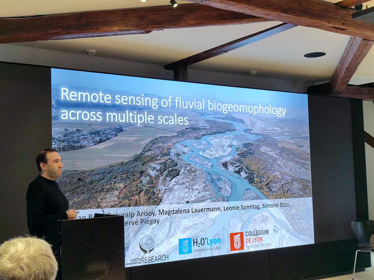
Florian Betz presented recent advances in river remote sensing, focusing on two innovative approaches: the use of Earth observation embeddings to characterize river dynamics and the fusion of Sentinel-2 and UAV imagery to map river corridor characteristics at high spatial resolution. Both approaches demonstrate the potential of new Earth observation technologies and artificial intelligence for studying fluvial processes across spatial scales.
A particular highlight was the Best Presentation Award, which was awarded to Florian Betz for his contribution.
The meeting provided an excellent opportunity to exchange ideas with the geomorphological research community and discuss new perspectives for integrating Earth observation into geomorphological research.