snow cover conditions at Zugspitze with UAS sensors

snow cover conditions at Zugspitze with UAS sensors

m

October 28, 2024

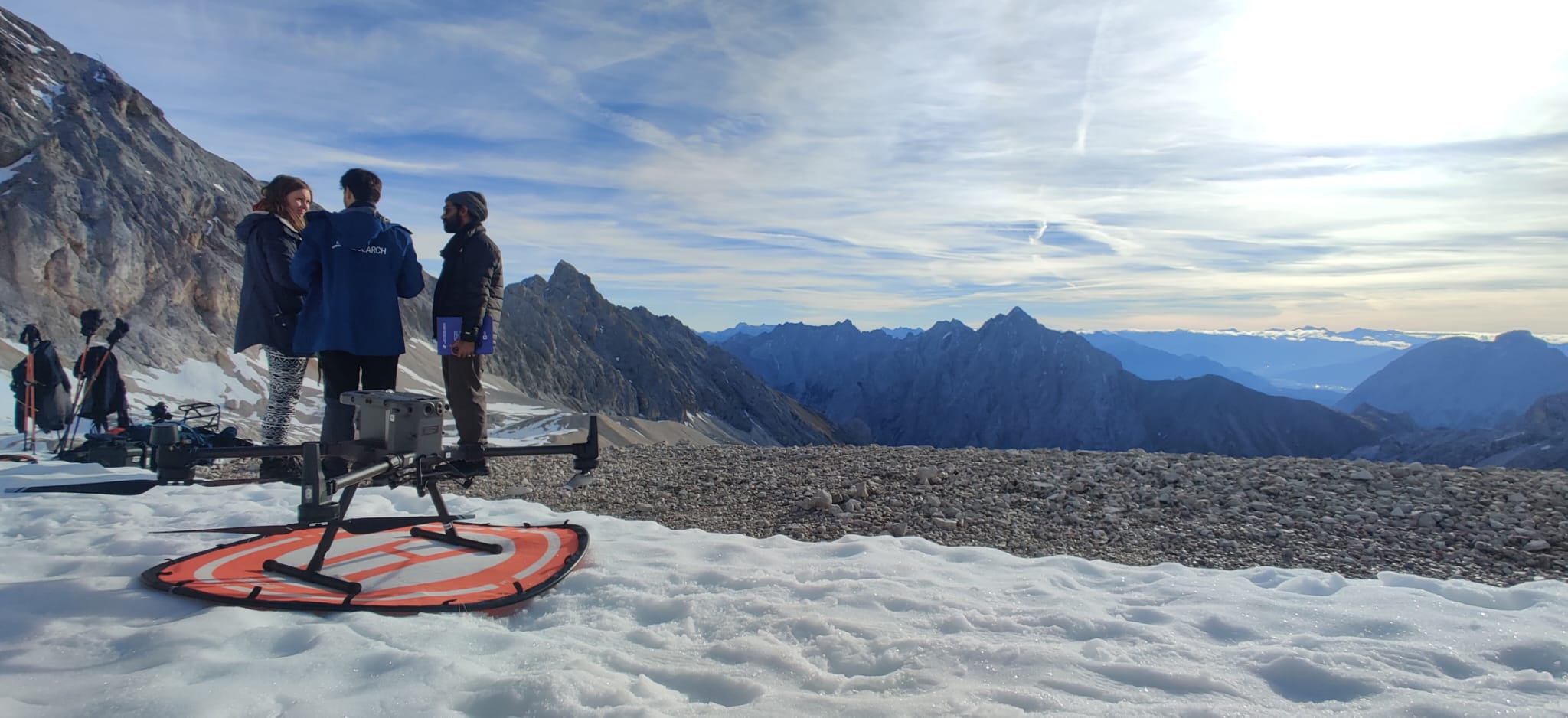
Our UAS team travelled to Umweltforschungsstation Schneefernerhaus at Zugspitze to continue the time-series analysis for landscape analysis using drones. At an average elevation of 2500 meters, the team, Luisa Pflumm, Baturalp Arisoy, Konstantin Müller and Basil Tufail, has done LiDAR and multispectral data acquisition with a drone system that is adapted to high altitude conditions. The mission is aiming to compare Lidar and multispectral data acquisitions with previous field work results to detect snow depth, conditions and the snow dynamics within a period of one month. Therefore, as during the previous missions, snow depth was measured on the study site at the same coordinates as last time. Looking forward to further missions and analyzing the snow dynamics at Zugspitz.

 

you may also like:

EOCap4Africa training in Ruhengeri

EOCap4Africa training in Ruhengeri

This week, over 25 students are attending a training session at the Institute of Applied Sciences (INES) in Ruhengeri, Rwanda, using the MSc module on Remote Sensing for Biodiversity Conservation that we developed. This module is part of the EOCap4Africa project...

Science Slam 10th anniversary with Hannes Taubenboeck

Science Slam 10th anniversary with Hannes Taubenboeck

This year, the popular Science Slam of the University of Würzburg is celebrating its tenth anniversary – a great reason to host not just one, but two exciting evenings: Friday, 7 November 2025, 7:00–9:00 p.m. – the regular competition Saturday, 8 November 2025,...

Privacy Policy

Lehrstuhl für Fernerkundung & Lehrstuhl für Urbane Fernerkundung

Erdbeobachtung an der Universität Würzburg