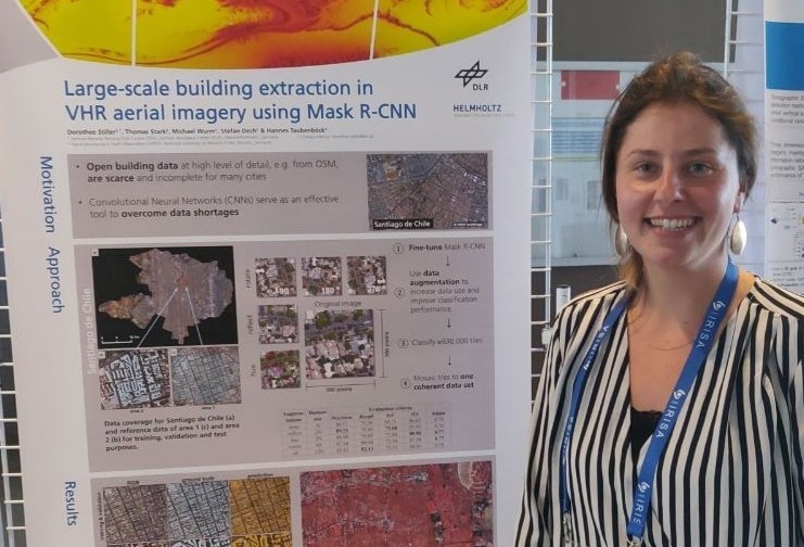
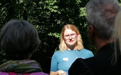
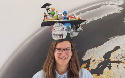
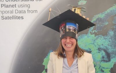
Dorothee Stiller is a PhD student at the Earth Observation Center (EOC) at the German Aerospace Center (DLR) and the Earth Observation Research (EOR) Hub, Institute of Geography and Geology at University of Würzburg. Her mentor at DLR is Dr. Michael Wurm (German Aerospace Center) and she is under the supervision of Prof. Dr. Hannes Taubenböck (Chair of Global Urbanization and Remote Sensing) and Prof. Dr. Stefan Dech (Chair of Remote Sensing). Doro has studied Global Change Ecology (Master) at the University of Bayreuth where she first got in touch with remote sensing during several remote sensing and R courses by Dr. Martin Wegmann (managing director of the EOR Hub).
She started her career at the EOC with an internship during her master studies, followed by a master thesis (https://www.mdpi.com/2072-4292/11/14/1707) and finally a PhD. She is about to finish her PhD at the Earth Observation Research hub at the University of Würzburg on “Potential of remote sensing data and methods for urban transportation research”. To understand the complex interplay between transportation and the urban environment, Doro uses various data and methods. The focus of her PhD is on state-of-the-art machine learning approaches, which are used for the evaluation of high-resolution orthophotos and satellite image data (https://www.jtlu.org/index.php/jtlu/article/view/1855, https://ieeexplore.ieee.org/abstract/document/8808977), as well as freely available camera image data. Neural networks are used for semantic segmentation and object detection. In addition, a variety of open geodata is used: Land use data from OpenStreetMap, facade images from Google Street View, census data of different spatial resolution, General Transit Feed Specification data with information about public transport and global population data products.
Besides her PhD, Doro is currently responsible for the research project “Sat4GWR_IF-Bund” in which she and her colleagues work closely together with the Federal Statistical Office (Destatis) and the Federal Agency for Cartography and Geodesy (BKG) (https://www.destatis.de/EN/Service/EXDAT/Datensaetze/register-census.html). She and her colleagues from DLR are developing deep learning algorithms able to automatically extract buildings and their functional use at large scales from very high-resolution imagery to support the quality assurance of the register census.

