The 44th EARSeL Symposium commenced today at Charles University in Prague, bringing together experts in Earth observation, forestry research and spatial analytics. The Earth Observation Research Cluster (EORC) and the Earth Observation Center (EOC) of the German Aerospace Center (DLR) used this first day to present new findings on urban‐greening strategies for Bavarian cities and to engage with an international audience of researchers and practitioners.
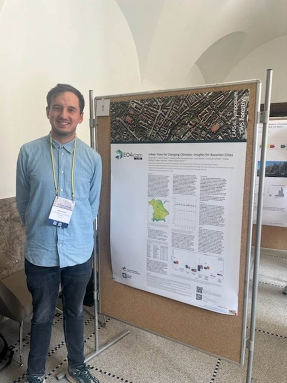
During the morning poster session, John Friesen introduced the study “Urban Trees for Changing Climates: Insights for Bavarian Cities”. The work integrates high-resolution CHELSA climate projections for the SSP5–RCP8.5 scenario with municipal land-cover data to evaluate the long-term suitability of twelve tree species in twenty-one Bavarian municipalities. The modelling indicates that London plane, Black locust and European hornbeam are likely to remain viable throughout the century, whereas species such as European beech and Norway maple will experience a steadily diminishing climatic niche.
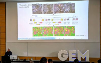
In the evening plenary session John Friesen delivered the presentation “How Much Urban Green Do Bavarian Cities Need to Cool by 1 °C?” Whereas the poster addressed species selection, the lecture quantified the scale of greening required to achieve measurable temperature reductions. A decade of Landsat imagery covering the period 2013 – 2023 was combined with a spatial regression model that explains approximately eighty-seven per cent of the variance in land-surface temperature across Bavaria’s forty-four largest cities. The analysis demonstrates that an increase of 0.0243 in city-wide NDVI—or 0.0316 within residential zones—is associated with a one-degree-Celsius decrease in surface temperature. By translating satellite-derived indicators into explicit numerical targets, the study offers local authorities a practical basis for designing evidence-based adaptation policies, particularly in districts currently characterised by low vegetation cover.
The two contributions delivered today, both part of the project EO4CAM, outline a coherent approach to urban heat mitigation: select tree species that will remain climatically resilient and establish clear quantitative benchmarks for expanding urban green space. The constructive dialogue that followed both sessions underscores the relevance of satellite analytics to municipal climate-adaptation planning well beyond the Bavarian context. We look forward to further exchanges and collaborative opportunities as EARSeL 2025 progresses.