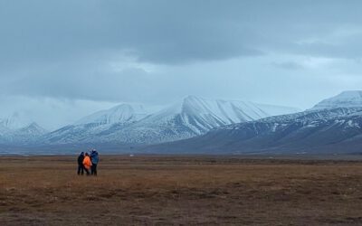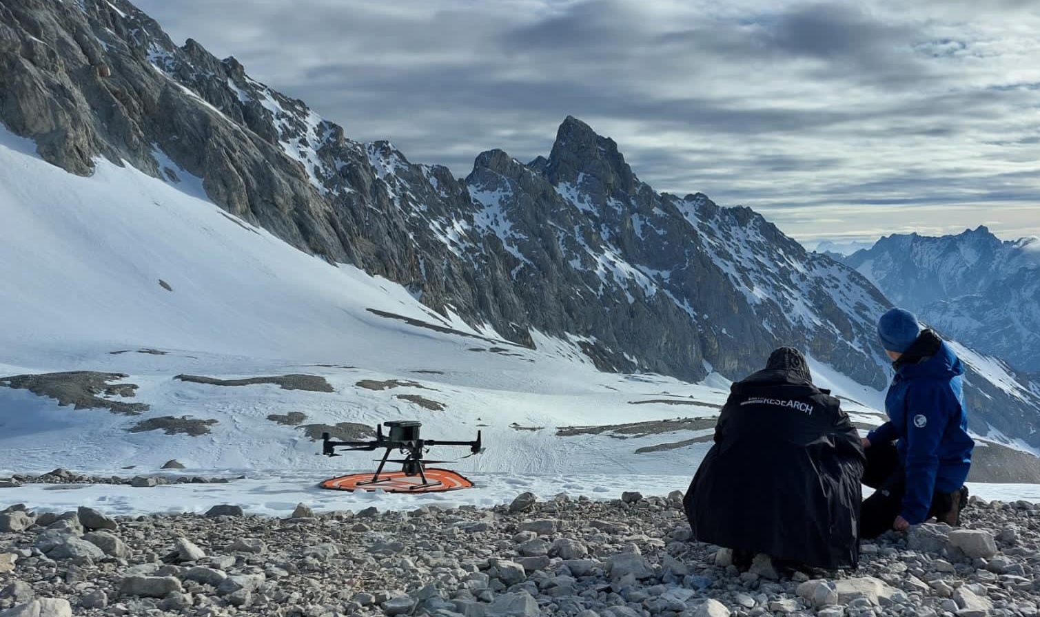

In a remarkable display of teamwork, our UAS (Unoccupied Aerial Systems) team has successfully managed to overcome some technical obstacles present since last summer on UAS data collection in steep terrain and acquired a wealth of data using lidar, multispectral, and thermal sensors. This impressive feat was made possible by our dedicated PhD students, Elio Rauth and Basil Tufail. Elio piloted the UAS along an extensive more than 1 km long and 200 m wide area, navigating a challenging elevation gradient of over 300 m.
A Closer Look at High Alpine Ecosystems
The primary focus of this research is to investigate snow, snowmelt, and vegetation dynamics in high alpine ecosystems. The detailed data collected during these UAS missions will provide invaluable insights into how these ecosystems respond to environmental changes. By integrating lidar, multispectral, and thermal data, the team can analyze the intricate relationships between snow cover, melt patterns, and vegetation health—critical factors in understanding climate impacts in these sensitive areas.
A Collaborative Effort
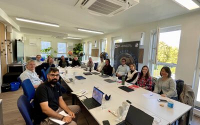
Such ambitious UAS missions are only feasible thanks to the collaborative efforts of our talented research team at our EORC, notably, PhD student Antonio Castaneda who has a incredible wealth of UAS knowledge and manages to resolve many issues and Dr. Mirjana Bevanda who is leading the various UAS research missions, ensuring that all scientific and technical aspects are met. Their whole expertise, combined with Professor Tobias Ullmann, who serves as the science team lead for the University of Würzburg at the Schneefernerhaus research station, has been instrumental in the success of this initiative.
Looking Ahead
As the research progresses, the insights gained from this UAS data acquisition will contribute significantly to our understanding of high alpine ecosystems and their responses to climate variability. The combination of advanced remote sensing technologies and a dedicated research team exemplifies the cutting-edge work being done at our institution.
Stay tuned for more updates as our team continues to explore and uncover the complexities of high alpine environments! If you’re interested in learning more about remote sensing technologies or sustainable research practices, feel free to reach out!