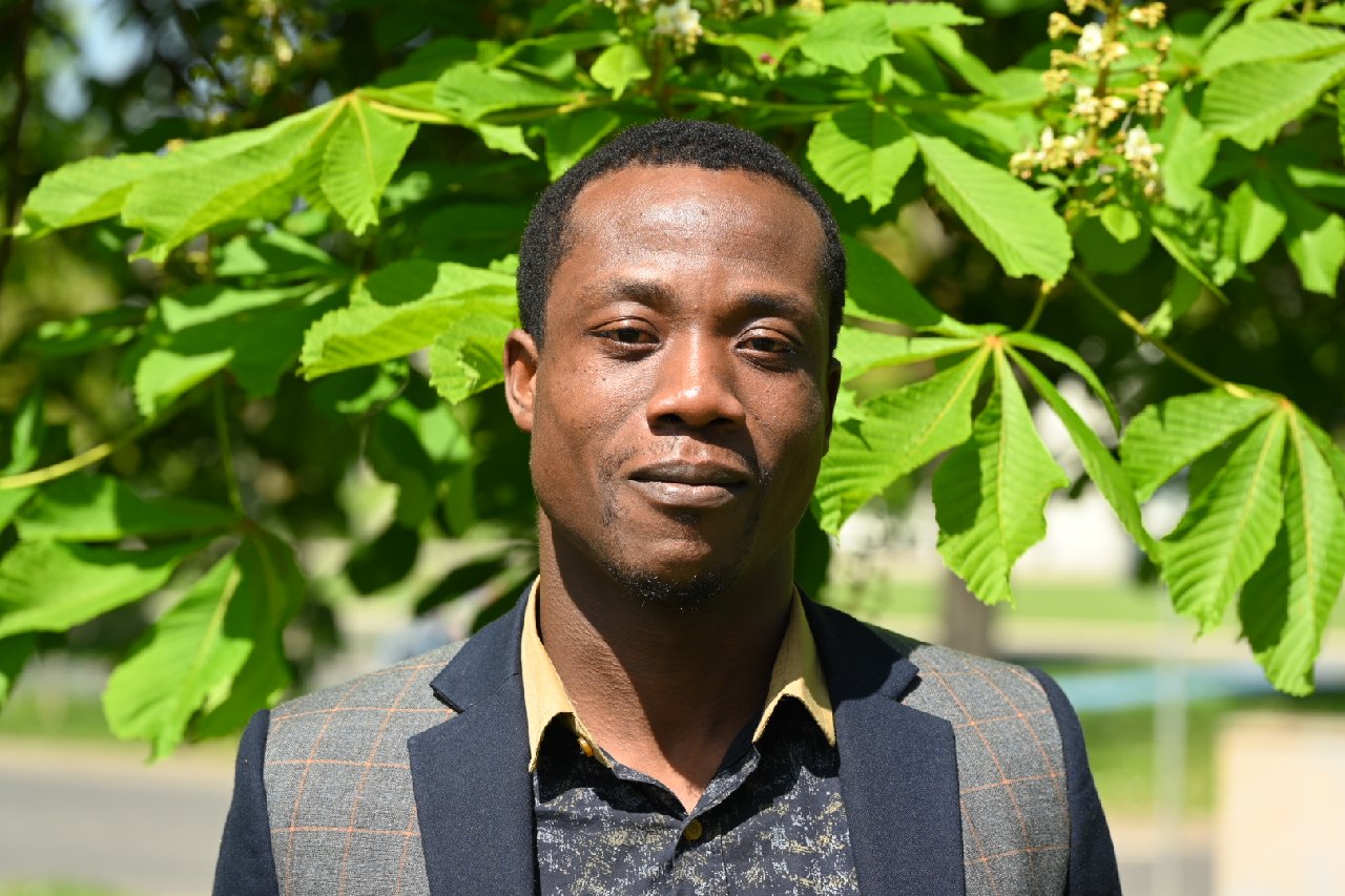
Aymard Romuald Ligue is PhD student at CURAT in Côte d’Ivoire and currently working on the “contribution of remote sensing and artificial intelligence methods to flood risk mapping in the Riviera Bonoumin watershed (South-East, Ivory Coast)” within the framework of the FURIFLOOD project, which is a sister project of LANDSURF and MIGRAWARE.
Côte d’Ivoire has been a frequent victim of water-related natural disasters such as floods. Several coastal cities frequently experience serious flooding due to highly variable rainfall patterns. The methodological approach used until now, for the evaluation of the flood risk in this catchment area hides information.
Hence, Aymard analyses to which extend the use of remote sensing and artificial intelligence methods allow a better estimation of the flood risk. His specific objective for the research stay here in Würzbug is to Design a DataCube for storage, cross-linking of layers, preview of current and future risk for early decision making. The purpose of this research is to preview our results via a WebGIS that will be updated over time to challenge the authorities in charge of management.


