We are glad to announce our next workshop report at the Earth Observation Research Hub. On the 26th of October, Maninder Singh Dhillon et al. will talk about “Multisource Data Fusion for Spatiotemporal Yield Modelling Winter Wheat and Oil Seed Rape“.
Abstract
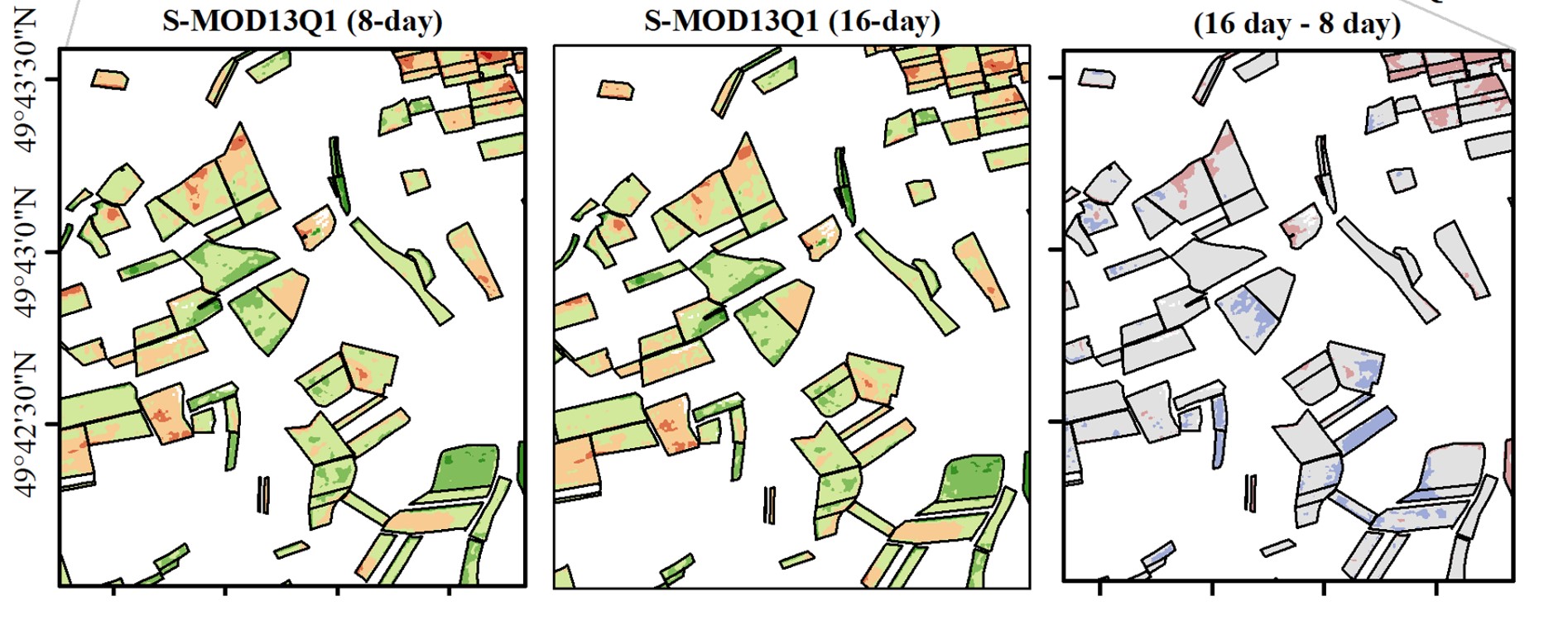
The increasing availability and variety of global satellite products and the rapid development of new algorithms provide great potential to generate a new level of data with different spatial, temporal, and spectral resolutions. However, the ability of these synthetic spatiotemporal datasets for accurately mapping and monitoring e.g., crop yields on different spatial scales remains underexplored. This study aims to identify the most suited synthetic satellite inputs for estimating crop yields by discovering the best spatial and temporal resolutions on a regional scale. The study explores and discusses the suitability of six different synthetic NDVI products (e.g., MOD13Q1, Landsat-MOD13Q1, and Sentinel-2-MOD13Q1) incorporated separately into two widely used crop growths models (i.e., WOFOST and LUE) for winter wheat and oil seed rape yield forecasts in Bavaria in 2019. For both crops, the synthetic products’ high spatial and temporal resolution promise to result in higher yield modeling accuracies with LUE and WOFOST. The study recommends the further use of its findings for implementing and validating the long-term crop yield time series in different regions of the world.
Title of presentation: Multisource Data Fusion for Spatiotemporal Yield Modelling Winter Wheat and Oil Seed Rape Authors: Maninder Singh Dhillon1,*, Thorsten Dahms1, Carina Kübert-Flock2, Thomas Rummler3, Joel Arnault4, Ingolf Steffan-Dewenter5 and Tobias Ullmann1 (1Department of Remote Sensing, Institute of Geography and Geology, University of Würzburg, 2Department of Remote Sensing, Hessian State Agency for Nature Conservation, Environment and Geology (HLNUG), Wiesbaden, Germany, 3Department of Applied Computer Science, Institute of Geography, University of Augsburg, Augsburg, Germany, 4Institute of Meteorology and Climate Research, Campus Alpine, Karlsruhe Institute of Technology, Garmish-Partenkirchen, Germany, 5 Department of Animal Ecology and Tropical Biology, University of Würzburg, * Presenter)
Date: Wednesday, 26th of October, 2022 Time: 10 – 11 a.m. s.t. (GMT+2) Place: Online Presentation language: English Slides: English


