Backpack based Lidar system for Earth Observation field work

Backpack based Lidar system for Earth Observation field work

m

January 12, 2022

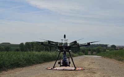
Preparing Earth Observation field work campaigns and testing our backpack-based Lidar system for analyzing vertical structure of the environment. We will test it on various settings to ensure that the upcoming field work across Europe will be a success and spend time now during the winter season to fine-tune the field equipment and analyze the test data for future proper research analysis.

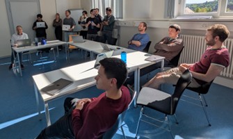
The system will be applied across different environments, from forest to grassland to urban systems and of course also used for teaching purposes in order to expose our students to the variety of field work possibilities.

Some screenshots or the previews are displayed, based on one single quick walk on the Campus (yellow line below). In the next weeks we work on the final processing of the full resolution point cloud and the corresponding RGB images and test the best field data acquisition pattern.


you may also like:

Visit at the Institute for Geoinformatics (IFGI) at University of Münster

Visit at the Institute for Geoinformatics (IFGI) at University of Münster

Two days ago, our PostDoc Dr. Jakob Schwalb-Willmann visited the Institute for Geoinformatics at University of Münster to give a talk at IFGI’s GI Forum titled “Can animals be used to classify land use? Employing movement-tracked animals as environmental informants using deep learning”.

EOCap4Africa training in Ruhengeri

EOCap4Africa training in Ruhengeri

This week, over 25 students are attending a training session at the Institute of Applied Sciences (INES) in Ruhengeri, Rwanda, using the MSc module on Remote Sensing for Biodiversity Conservation that we developed. This module is part of the EOCap4Africa project...