LANDSURF: 2nd End-user Workshop “Evaluation of the Decision Support System (DSS)”

LANDSURF: 2nd End-user Workshop “Evaluation of the Decision Support System (DSS)”

m

June 28, 2023

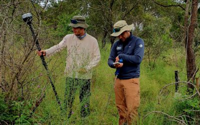
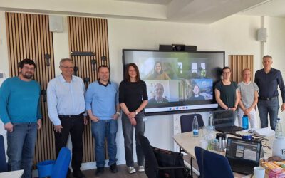
Within the WASCAL WRAP 2.0 project LANDSURF the 2nd End-user Workshop “Evaluation of the Decision Support System (DSS)” took place at 26th June. Within the workshop the project partners presented their contribution to the DSS and received feedback from end-useres that tested the platform beforehand. The virtual workshop was well attended with 28 participants from six countries. The DSS that is developed within LANDSURF provides a user-oriented graphical interface with a strong focus on parameters that can be related/utilzed for decision making in the broader context of agriculture in West Africa. Additional information on land use change and data uncertainty is included as well in the DSS platform. Results from the FURIFLOOD project will also be integrated in the DSS – thus it also serves as an example of our successful synergistic research effort between multiple projects.

follow us and share it on:

you may also like:

Remote sensing insights into biogas flowering mixtures

Remote sensing insights into biogas flowering mixtures

Perennial wildflower mixtures are gaining importance as an alternative to maize in biogas production. As highlighted in the praxis-agrar article on crop diversification with biogas flowering mixtures, they combine agricultural use with clear ecological benefits....

PhD submitted by Julia Rieder

PhD submitted by Julia Rieder

We are pleased to share that our PhD student Julia Rieder has successfully submitted her doctoral thesis! Her dissertation, entitled “Abiotic and biotic drivers of drought responses in European beech (Fagus sylvatica L.) inferred from field and LiDAR data”,...

New Funded Project on Automated Detection of Mining Areas

New Funded Project on Automated Detection of Mining Areas

In a newly launched research project funded by the KSB Foundation, we focus on the automated identification of mining areas based on remote sensing data. The aim is to systematically detect large-scale mining activities and to track their spatial and temporal...

Share This