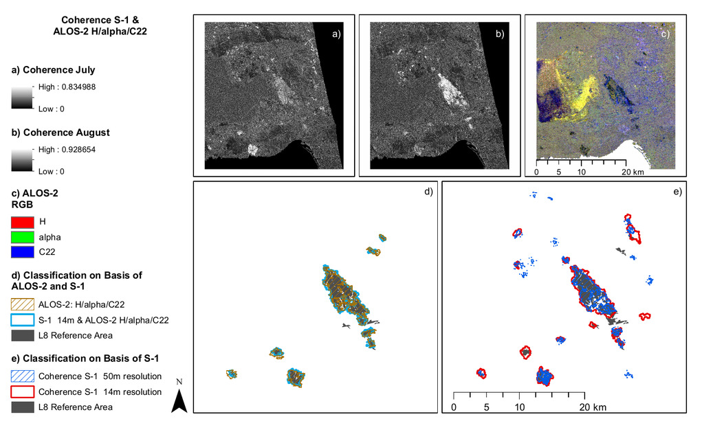
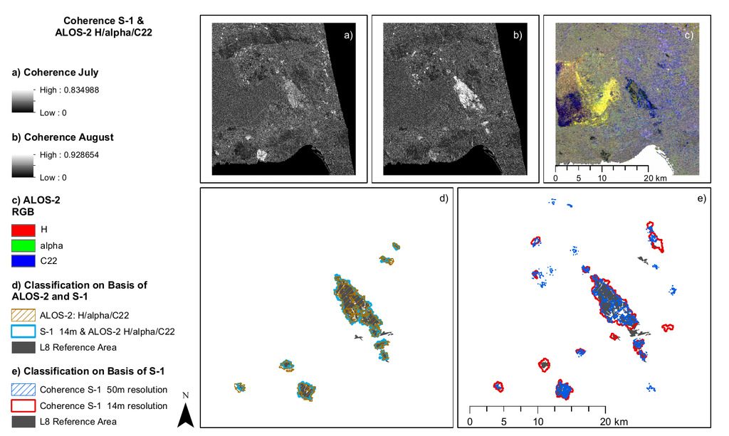
 Susanne Karg handed in her M.Sc. thesis “Burn Scar Detection Using Polarimetric ALOS-2 Time-Series Data” which was done in collaboration with the DLR-EOC. From the abstract: Fire is both a natural disturbance regime and a threat to infrastructure, forestry and human lives. Satellite remote sensing offers a fast and efficient way to reliably estimate the burnt area. In most cases, optical satellite data are used for burn scar detection. Nevertheless, smoke, clouds or rain can decrease the quality of classification. In these cases, SAR data can be a good alternative. Using quad-polarisation SAR data, the backscatter can be decomposed into different scattering mechanisms, describing the scatterer more precisely. Within this chapter the possibilities and limitations of using polarimetric ALOS-2 data for burnt area estimation are investigated using an object-based image analysis approach based on change-detection. The effects of speckle filters and averaging windows were investigated and the developed routine tested using a time-series. Differences were found between the backscatter behaviour during the fire and several months afterwards. The object-based postclassification increased the accuracy strongly compared to the pixel-based classification of the burn scar. The window sizes for speckle filtering and calculation of decompositions influenced the classification result strongly. Good results were obtained for any of the time steps analysed after the routine was adapted to the rest of the time-series.
first supervisor: Martin Wegmann, second supervisor: Günter Strunz in cooperation with Dr. Sandro Martinis and Dr. Simon Plank

