
rsMove article published

rsMove article published

June 11, 2019

a new publication is available online:

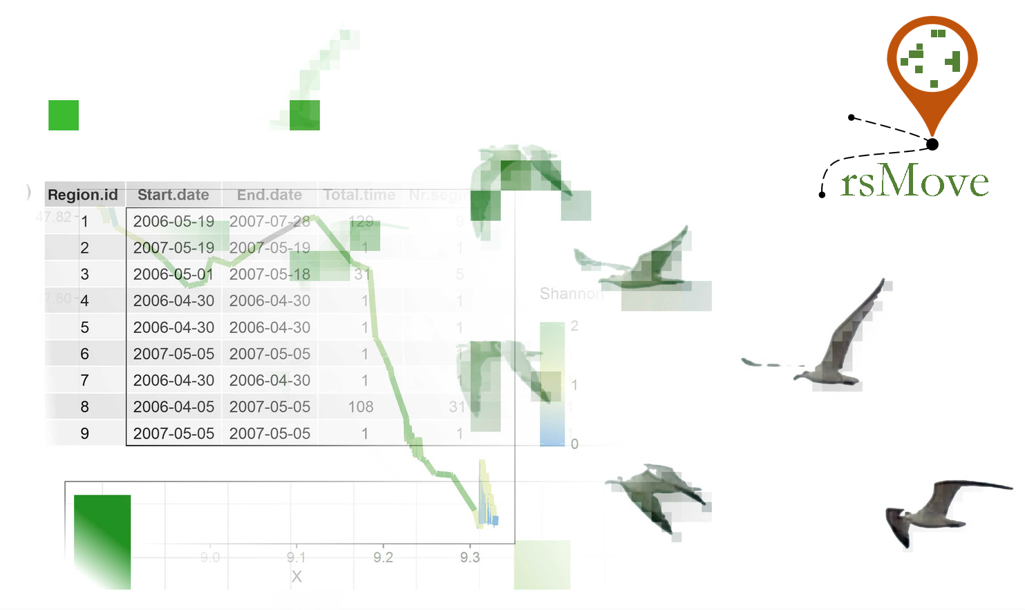
“rsMove – A Linking Animal Movement and Remote Sensing through R” by Ruben Remelgado, Martin Wegmann and Kamran Safi.

Those that see remote sensing as a tool to address ecological questions often face difficulties choosing data among barrage of datasets. Every year, new products are developed, but their potential to solve ecological questions is not always clear to practitioners. Moreover, combining remote sensing and movement data has it’s challenges as a consequence of the differences in spatial and temporal resolution between both data.

While these issues are persistent, they often miss a clear answer, especially when movement ecologists lack the support of remote sensing specialists. In this context, rsMove is of great help. This R package provides tools that guide ecologists in the selection of remote sensing data and helps combine it with movement data. A paper for the package was recently published in Methods in Ecology and Evolution (https://besjournals.onlinelibrary.wiley.com/doi/full/10.1111/2041-210X.13199) offering a concise, step-by-step methodology to deal with the mentioned issues addressing them from the perspective of a remote sensing expert.
follow us and share it on:

you may also like:

EAGLE students present blender for 3D globes & mountains or cities

EAGLE students present blender for 3D globes & mountains or cities

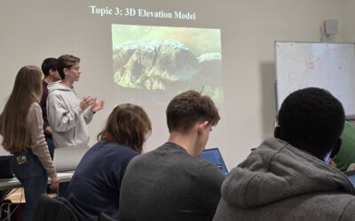
Our EAGLE M.Sc. students are in the middle of a series where they present scientific software for spatial work to each other. The idea is simple. Instead of just hearing about scientific spatial tools from a lecturer, the students pick one software, explore it and...

Photo contest – Würzburg through your lens

Photo contest – Würzburg through your lens

Take part in the Geolingual Studies photo contest and contribute to the exhibition "A Sense of the City". The GLS team wants to see what Würzburg looks like through your lens. Whether your photo depicts a well-known landmark or an overlooked corner, was taken by day...

Stickers have landed

Stickers have landed

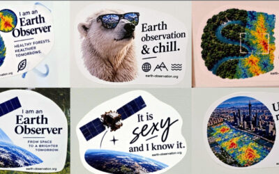
Our new EO stickers arrived last week, and they’re already out in the wild. You may spot them on laptops, water bottles and notebooks around campus. Hex logos, nerdy one-liners about satellites and code, and a few jokes only an Earth observation person will get. And...

Successful MSc Defense by Christina Krause

Successful MSc Defense by Christina Krause

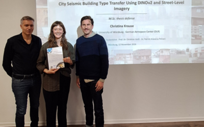
Congratulations to our EAGLE student Christina Krause, who successfully defended her MSc thesis titled "Active Learning and Parameter-Efficient Feature Adaptation for Cross-City Seismic Building Type Transfer Using DINOv2 and Street-Level Imagery" on November 12,...

Successful MSc Defense by Marlene Bauer

Successful MSc Defense by Marlene Bauer

Congratulations to our EAGLE student Marlene Bauer, who successfully defended her MSc thesis titled "Robust and Uncertainty-Aware Informal Settlement Mapping – Cross-City Generalisation Across Diverse Urban Morphologies Using High-Resolution Satellite Imagery in...

bzgl. Art. 50 Verordnung (EU) 2024/1689 (AI Act):

Überwiegend werden eigene originäre Texte und Bilder des EORC genutzt, jedoch sind einige Inhalte von blog post Texten teilweise mit Hilfe von KI überarbeitet worden und einige Bilder sind ganz mit KI erstellt, die jedoch deutlich keine photorealistische Darstellungen abbilden. Aussnahmen sind KI generierte fernerkundliche Datensätze, die explizit für Forschungszwecke mit KI erstellt wurden, hier wird aber durch den assoziierten Text der wissenschaftliche Grund der KI generierten Bilder erläutert.

Share This