UAV and D-GPS fieldwork in the Steigerwald

UAV and D-GPS fieldwork in the Steigerwald

March 8, 2017

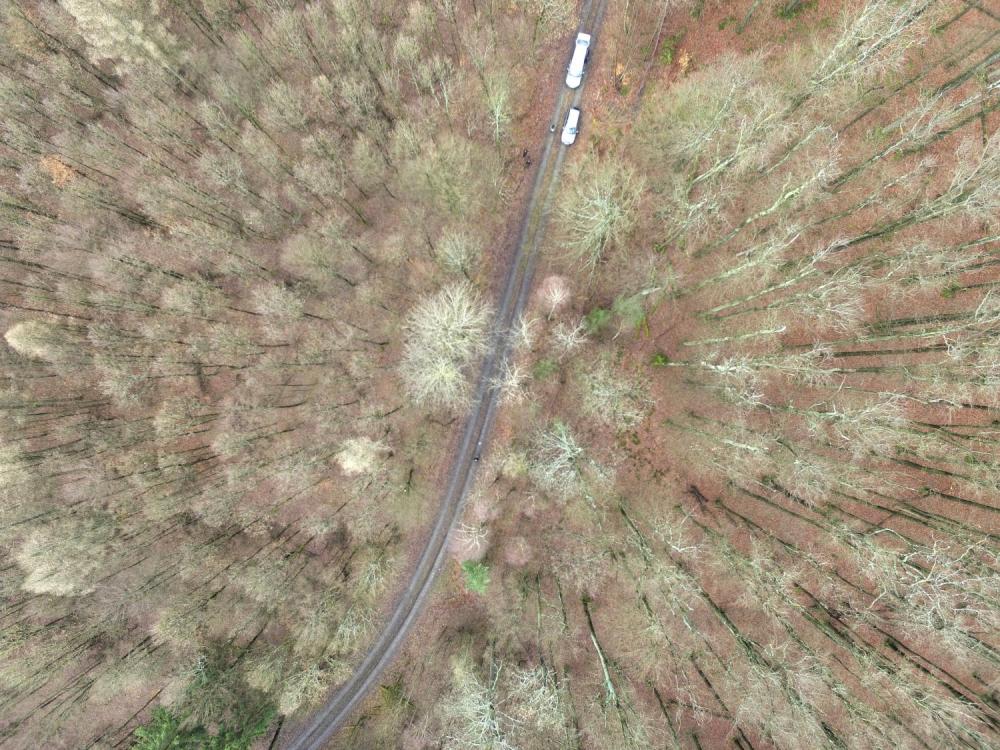
one of our field sites in the Steigerwald

First field work of the year and testing the applicability of our UAV and D-GPS in the Steigerwald at the research station of the University Wuerzburg in Fabrik Schleichach. The research station is part of Prof. Jörg Müllers research department, his staff helped us with the field work and Dr. Simon Thorn, the deputy of the research station gave us a tour of the station and the ongoing research. Several methods to locate ground control points were tested as well as the options to launch the UAV in different types of forest. Additionally, we took images of the research station itself and the plots to evaluate its suitability for later field work and courses. Interesting discussions and potential further collaborations with the biologists working on beetles, bird or fungi composition and distribution, as well as forest composition were also part of it. Tobias Ullmann, Hooman Latifi, Christian Büdel and Martin Wegmann conducted the field work and are now planning further field work in spring and summer as well as joint courses around the research station.

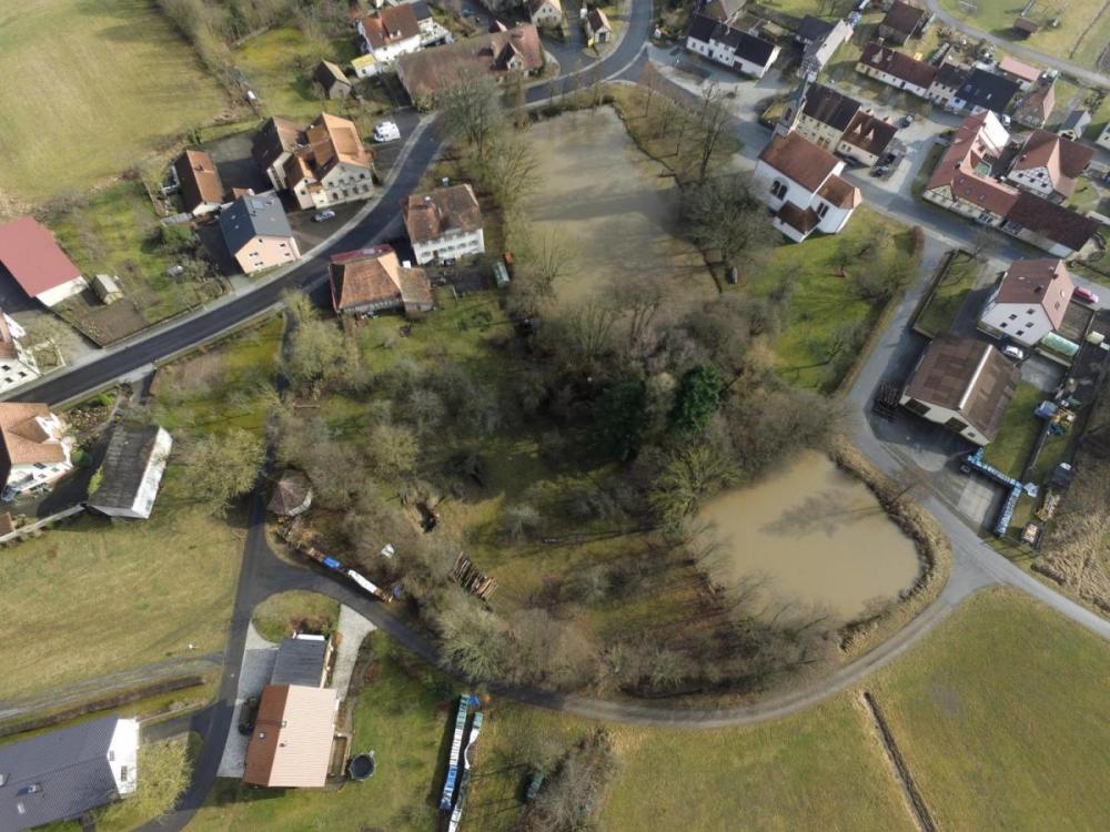
Research Station of the University of Wuerzburg in Steigerwald

follow us and share it on:

you may also like:

Course on urban EO by Michael Wurm

Course on urban EO by Michael Wurm

Walk through any city and you pick up on things that are hard to put a number on. The noise of a main road, the heat that sits between buildings in summer, the question of whether that little park around the corner is really enough green space for the whole...

EireR R package: unified gateway to Irish geospatial data

EireR R package: unified gateway to Irish geospatial data

Anyone who's tried to do geospatial work across the whole island of Ireland knows the headache. Ireland is one island geographically, but it's split across two jurisdictions, the Republic and Northern Ireland, and each one runs its own data infrastructure. Different...

Impact of agrophotovoltaic facilities – an R package

Impact of agrophotovoltaic facilities – an R package

There's a new R package on the block, and it's solving a problem that sounds simple until you actually try to do it: how do you tell whether putting solar panels over a farm field is good or bad for the soil and the crops around them? Marlene, one of our EAGLE...

Presentation at the Kolloquium of the Technical University of Graz

Presentation at the Kolloquium of the Technical University of Graz

Dr. Ariane Droin presented the works of her PhD-Thesis at the Geo-Kolloquium of the Technical University of Graz with the title "Hochauflösende, skalenübergreifende Modellierung von Nachbarschaftserreichbarkeiten im urbanen Raum" on the 17th of June 2026. She showed...

Academic Evolution in Earth Observation

Academic Evolution in Earth Observation

A while ago, we shared a lighthearted post about our EORC Earth observation characters. What stayed with us afterward were the reactions from colleagues around the world. Quite a few professors commented, half joking and half serious, that sometimes they wish they...

Share This