Remote Sensing Midsummer Dialogue at the Department

Remote Sensing Midsummer Dialogue at the Department

m

July 24, 2017

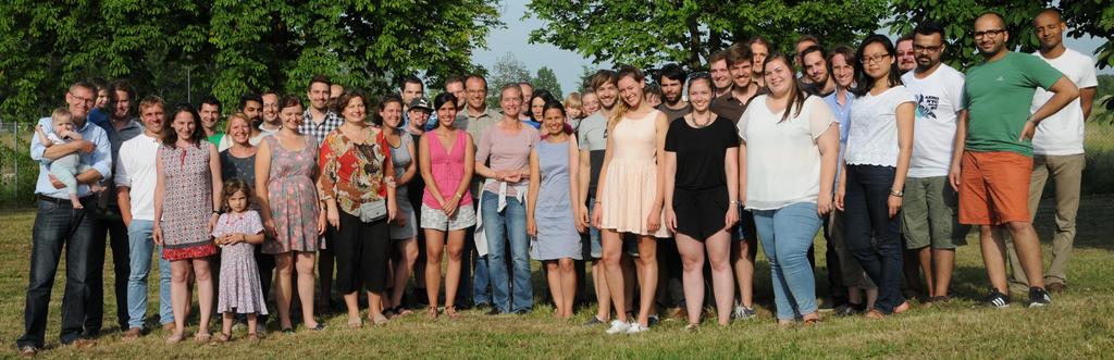
Beside participants from the University of Wuerzburg and the DLR, also many colleagues from companies and a variety of national and international research institutions joined this event. The midsummer dialogue was organized by the EAGLE students. The students were keen to meet and discuss with many lecturers and guests the working conditions and opportunities in remote sensing. The organizers are very happy that this midsummer dialogue was a great success and we plan to organize it next year again with further topical talks and discussions. More impressions can be found here: http://eagle-science.org/first-eagle-midsummer-dialogue/

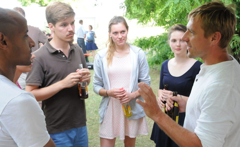
The 1st EAGLE midsummer dialogue took place on June 23rd, 2017. Prof. Dr. Stefan Dech, chair of the remote sensing department and Prof. Dr. Christopher Conrad, EAGLE study program coordinator,  welcomed more than 50 students and lecturers as well as current and former members of the department of remote sensing.

follow us and share it on:

you may also like:

Remote sensing insights into biogas flowering mixtures

Remote sensing insights into biogas flowering mixtures

Perennial wildflower mixtures are gaining importance as an alternative to maize in biogas production. As highlighted in the praxis-agrar article on crop diversification with biogas flowering mixtures, they combine agricultural use with clear ecological benefits....

PhD submitted by Julia Rieder

PhD submitted by Julia Rieder

We are pleased to share that our PhD student Julia Rieder has successfully submitted her doctoral thesis! Her dissertation, entitled “Abiotic and biotic drivers of drought responses in European beech (Fagus sylvatica L.) inferred from field and LiDAR data”,...

New Funded Project on Automated Detection of Mining Areas

New Funded Project on Automated Detection of Mining Areas

In a newly launched research project funded by the KSB Foundation, we focus on the automated identification of mining areas based on remote sensing data. The aim is to systematically detect large-scale mining activities and to track their spatial and temporal...

Share This