CAWa Summer School 2018 – Open Call for Application
As in the previous years, CAWa WP3 team members from the Department of Remote Sensing will provide lectures on the potentials and use of remote sensing data, GIS and webGIS to dedicated master and PhD students as well as professionals and experts in Central Asia.
The Summer School introduces innovative methods and tools for the analysis and monitoring of water and land resources in Central Asia. These methods are of great value in the framework of integrated water and land resources management.
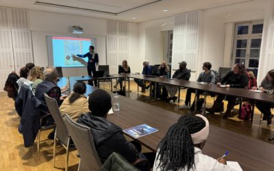
The 2-week Summer School will combine theoretical lectures and practical exercises with discussion sessions on the implementation of new methods and tools in managing water and land resources in Central Asia. The programme includes an in-depth introduction to geographical information systems (GIS), an overview on remote sensing applications for land and water resources monitoring, an introduction to climatological data analysis and an introduction to glaciology. For the practical exercises in data analysis, the participants will use open source tools such as QGIS (www.qgis.org) for spatial analysis, and R (www.r-project.org) for statistical analysis.
The Summer School is organized within the framework of the CAWa project as contribution to the German Water Initiative for Central Asia (“Berlin Process”) launched by the German Federal Foreign Office in 2008.
Venue: German-Kazakh University (GKU), ul. Pushkina 111/113, 050010 Almaty, Republic of Kazakhstan
For further information on how to apply, please consult this CAWa website.


