UAS Lidar field work on Zugspitze

UAS Lidar field work on Zugspitze

m

May 30, 2022

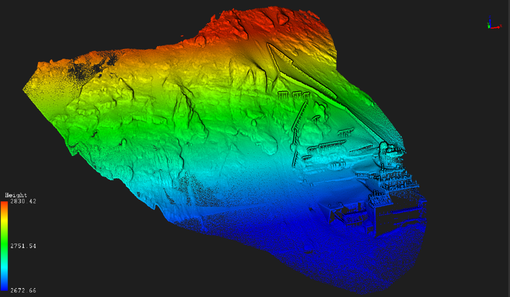
A first explorative UAS-based Lidar and thermal data acquisition was successfully finished and we received very interesting high resolution spatial data of the terrain including snow cover and especially rock structures.

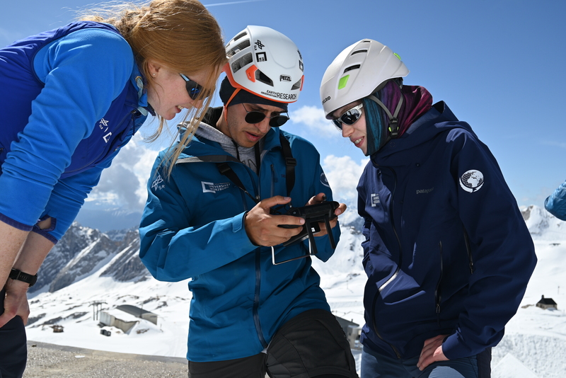
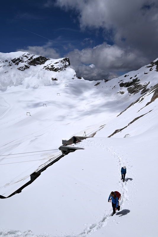
Flying UAS systems on nearly 3000m ASL and with high mountain environmental conditions is challenging but also quite interesting for our EAGLE M.Sc. students who joint for this first flight. More flights are planned for later this year aiming for specific research questions. Also visiting the Schneefernerhaus Research Station (UFS) was very interesting and a perfect location for high mountain research.
you may also like:

Urbanization in China – A review of 12 years of research

Urbanization in China – A review of 12 years of research

The world has experienced a tremendous wave of urbanization. In 1975, 37.7% of the world's population lived in urban areas; 50 years later in 2025, this figure has risen to 58.3%. In China, in particular, the dynamics were even more dramatic: in 1975, only 17.4% of...

End of the Year & New Year’s Eve Greetings

End of the Year & New Year’s Eve Greetings

As we approach the end of 2024, we take a moment to reflect on the various great collaborations and project goals we have achieved throughout the year. We extend our heartfelt thanks to our colleagues, collaborators, and partners for your collaboration, contributions,...

EAGLE Daria did her internship in Bergen

EAGLE Daria did her internship in Bergen

Our EAGLE student Daria recently wrapped up an internship at the University of Bergen in the Remote Sensing research group. With the support of her supervisor, Dr. Benjamin Abreu Robson, she got to work on the Jostedalsbreen glacier using drone and satellite data. Her...