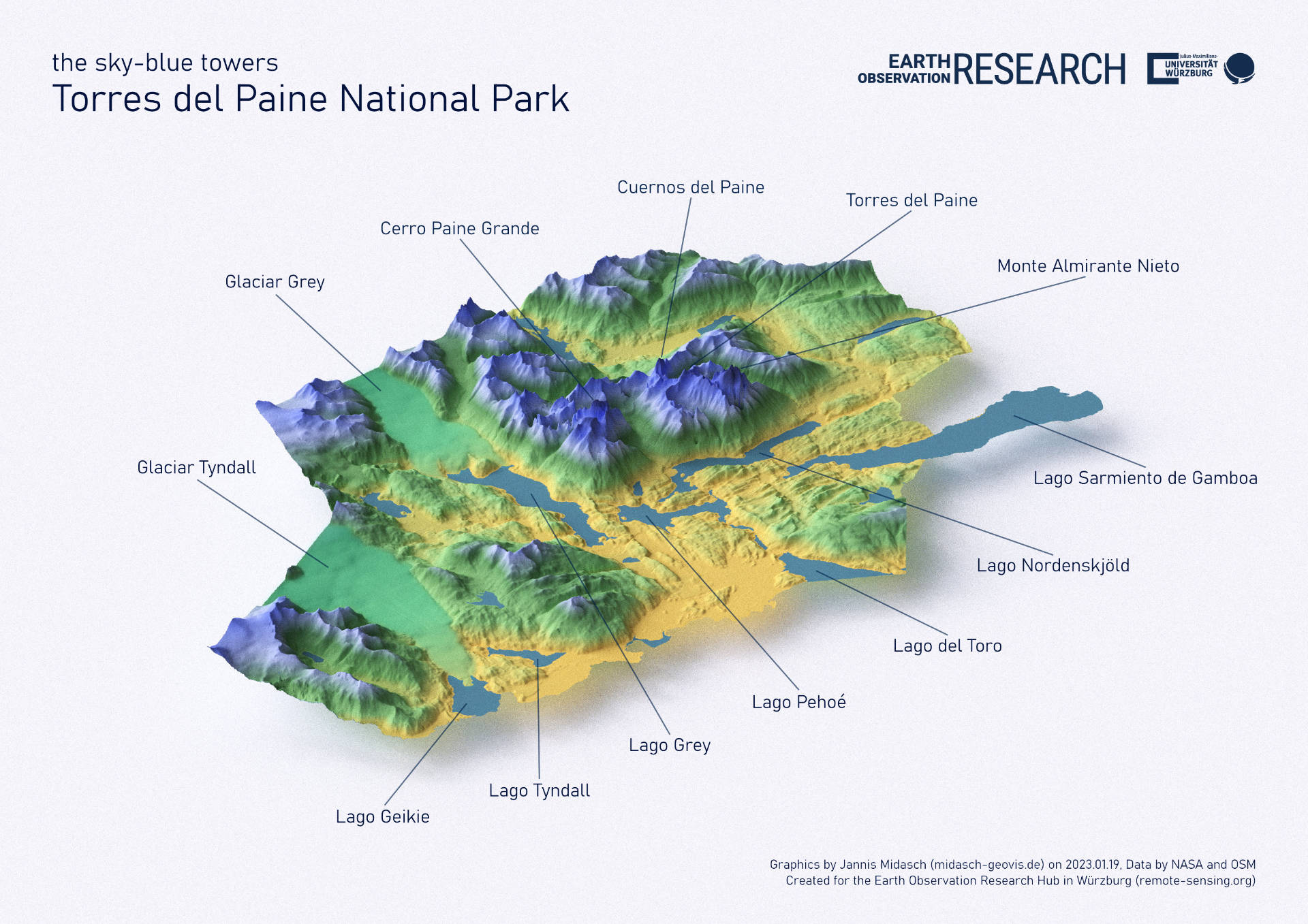
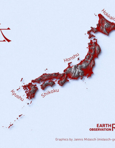
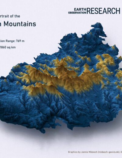
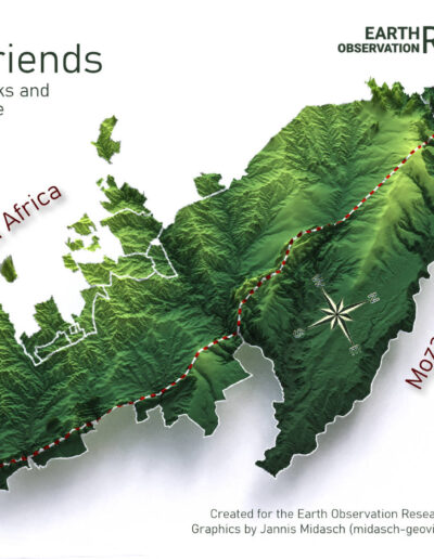
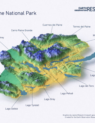
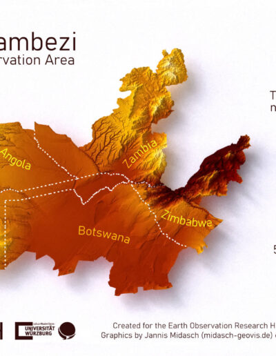
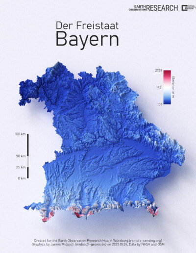
Our intern Jannis Midasch worked on various topics, from Data Cube, to webpage interfaces, QGIS plugins development or UAS Lidar data collection and visualization. And one topic was also the visualization of study areas we are working in using the great rayshader R package. He ran a first series of trials for maps and is now working as student assistant to add more features in the map e.g. concrete earth observation results and of course time-series data. Hence, these maps are just the start and more it to be expected in the next weeks and months.
check out the code for some of the graphics on his git: https://github.com/JMidasch/rayshader-templates

