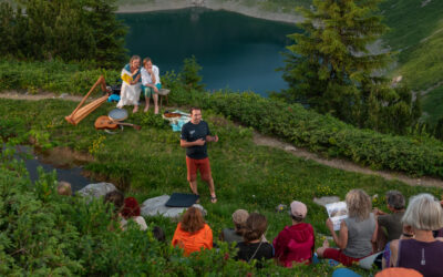
In a recent blog by the Geomorphology Division of the European Geosciences Union (EGU), the research of our EORC PI Florian Betz, working on generally on river systems and specifically on fluvial biogeomorphology, was featured in the community blog: blogs.egu.eu/divisions/gm/2026/02/03/highlighting-fluvial-biogeomorphology-interview-with-florian-betz/
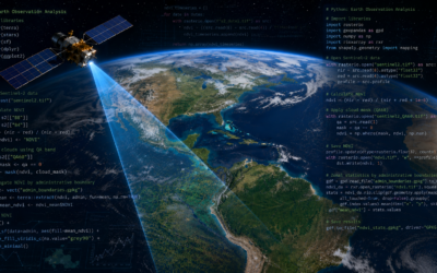
Fluvial biogeomorphology studies the interaction between hydrology, geomorphology and vegetation in river corridors. Understanding these biogeomorphic interactions does not only give new insights in the development of riverine landscapes. It is also crucial for planning river restoration and supporting nature based solutions, e.g. for flood risk reduction or carbon sequestration of riparian ecosystems. At the EORC, a group of EAGLE students and PhD student Baturalp Arisoy are working with Florian Betz on developing cutting-edge remote sensing methods for studying biogeomorphic feedbacks from satellite time series. Among others, we are working on the analysis of historic Corona satellite images (enabling us to generate habitat maps and DEMs going back as early as 1968), time series of super-resolution Sentinel-2 imagery (giving 2.5 m spatial resolution while preserving all bands) and the prediction of grainsize classes and their dynamics from UAV and super-resolution Sentinel-2 imagery. Together, we are truly pushing the boundaries of EO data driven analysis of river dynamics.
Fluvial biogeomorphology studies the interaction between hydrology, geomorphology and vegetation in river corridors. Understanding these biogeomorphic interactions does not only give new insights in the development of riverine landscapes. It is also crucial for planning river restoration and supporting nature based solutions, e.g. for flood risk reduction or carbon sequestration of riparian ecosystems. At the EORC, a group of EAGLE students and PhD student Baturalp Arisoy are working with Florian Betz on developing cutting-edge remote sensing methods for studying biogeomorphic feedbacks from satellite time series. Among others, we are working on the analysis of historic Corona satellite images (enabling us to generate habitat maps and DEMs going back as early as 1968), time series of super-resolution Sentinel-2 imagery (giving 2.5 m spatial resolution while preserving all bands) and the prediction of grainsize classes and their dynamics from UAV and super-resolution Sentinel-2 imagery. Together, we are truly pushing the boundaries of EO data driven analysis of river dynamics.