
Measurement campaign “Super-Test-Site Würzburg” – First week

Measurement campaign “Super-Test-Site Würzburg” – First week

June 14, 2024

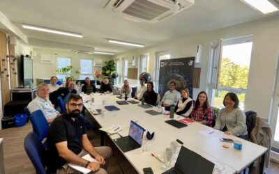
“Super-test-Site” Würzburg is a measurement campaign in which a multidisciplinary team attempts to collect data on environmental variables as well as on perception, stress symptoms and behaviour in urban areas. In the measurement campaign, which takes place from the 10th to the 21st of June 2024, we aim to record coordinated data in these various fields of sciences. 

The team consists of researchers from our University in Würzburg, from the Karlsruhe Institute of Technology, Technical University of Applied Sciences Würzburg-Schweinfurt, the Friedrich-Alexander-University Erlangen-Nürnberg and the German Aerospace Center. The team covers the fields of remote sensing, (geo)-informatics, computer science, urban planning, social geography, linguistics, digital humanities, psychology, business informatics and sports science.

The first week of our “Super-Test-Site Würzburg” measurement campaign is now over. We had some very good weather and highly motivated contributors cycling and walking through the city to record the various data types. We thank all the participants and organizers a lot for their time, involvement and motivation in this project and we are looking forward to the next week of our campaign, where we will continue to gather further data sets. With this, we will aim at a deeper understanding of the interplay of the subjective perception and the physical space of urban areas.

 more details at www.erdbeobachtung.org


follow us and share it on:

you may also like:

GLS-team visits Planetary Health exhibition

GLS-team visits Planetary Health exhibition

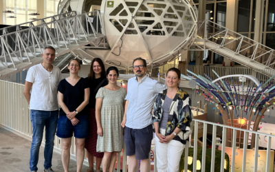
One of the aims of Geolingual Studies Geolingual Studies - Geolingual Studies is to ensure effective science communication beyond the scientific community and into the wider society. The Geolingual Studies team was given the opportunity to look at concepts and methods...

Mapping Lava Tubes on Mauritius with iPhone Pro LiDAR

Mapping Lava Tubes on Mauritius with iPhone Pro LiDAR

Lava tube structures on Mauritius are quite hard to survey - tight, dark, and largely inaccessible to classical scanning equipment. As part of ongoing research by Dr. Kim Lea Holzmann (Chair of Animal Ecology and Tropical Biology, University of Würzburg), we're...

bzgl. Art. 50 Verordnung (EU) 2024/1689 (AI Act):

Überwiegend werden eigene originäre Texte und Bilder des EORC genutzt, jedoch sind einige Inhalte von blog post Texten teilweise mit Hilfe von KI überarbeitet worden und einige Bilder sind ganz mit KI erstellt, die jedoch deutlich keine photorealistische Darstellungen abbilden. Aussnahmen sind KI generierte fernerkundliche Datensätze, die explizit für Forschungszwecke mit KI erstellt wurden, hier wird aber durch den assoziierten Text der wissenschaftliche Grund der KI generierten Bilder erläutert.

Share This