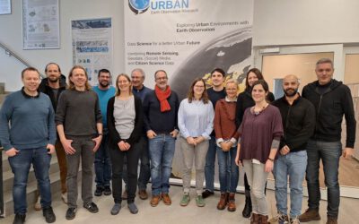
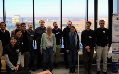
Meeting of the DBU-project “The ecosystem services of the urban forest”.
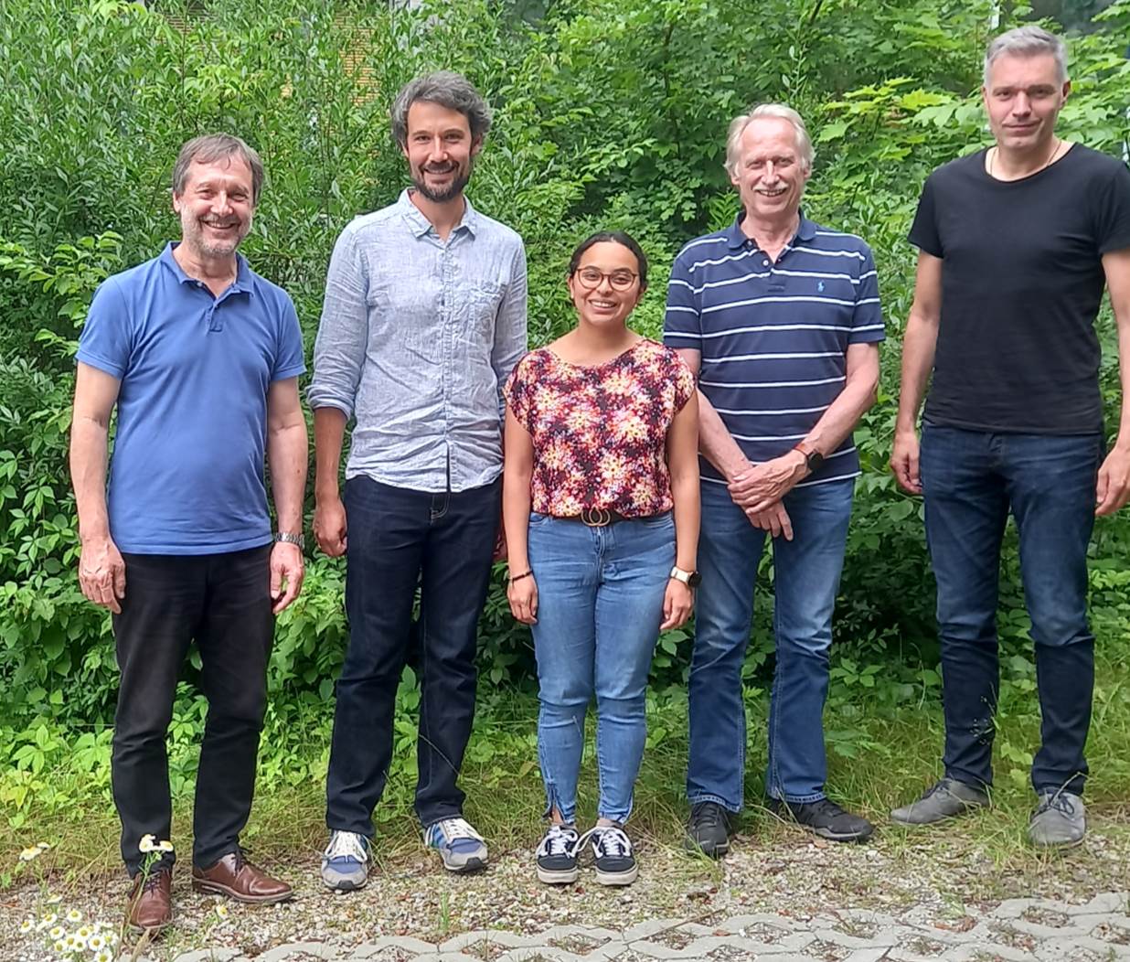
The project partners of the project “The ecosystem services of the ‘urban forest’” funded by the Deutsche Bundesstiftung Umwelt (DBU) met at the Chair for Forest Growth and Yield Science
of the School of Life Sciences at TU München in Freising on the 10th of July 2024. The colleagues from the Technical University of Munich (Prof. Dr. Thomas Rötzer; Prof. Dr. Stephan Pauleit), from the Company for Remote Sensing and Environmental Research (SLU) (Dr. Klaus Martin) in Munich and from our EO Research Hub as well as the Earth Observation Center of the German Aerospace Center (Andrea Sofia Garcia de Leon, Dr. Tobias Leichtle & Prof. Dr. Hannes Taubenböck), presented the status quo of the work, discussed and planned the interdisciplinary collaboration.
The focus of the research work is on urban trees. They provide multiple ecosystem services (ESS) reducing the impacts of climate change in cities, for example through cooling, shading, carbon storage and biodiversity conservation. However, detailed information on these services provided by urban trees as a function of their structure and growth is often lacking. Area-wide information on the performance and growth of urban trees at a high granular level of individual trees would contribute to develop climate adaptation strategies for cities. Based on single tree measurements, the process-based model CityTree is extended for common Central European tree species to provide detailed information on growth and ESS of the most common species. Using high resolution aerial and satellite image data as well as elevation information, additional site parameters such as soil sealing, building density or shading effects are parameterized. Based on this, an automatic tree recognition is implemented using machine learning methods, which makes a detailed recording and analysis of individual trees in the urban environment as well as a determination of the ESSL of urban trees practicable for end users such as municipalities and planners.
The work has recently been presented at various conference – he had reported on this:
https://remote-sensing.org/eorc-at-the-iufro-world-congress-2024/
https://remote-sensing.org/exhibition-at-the-week-of-the-environment/
https://remote-sensing.org/presentation-at-the-biomet-conference/

