


We are thrilled to share the amazing achievements of our talented students who recently completed their scientific presentation course with flying colors. Our eagles had the exciting opportunity to introduce over 100 BSc students to the world of remote sensing, showcasing a wide array of innovative applications with great success.
The presentations were not only informative but also visually stunning, with each presenter demonstrating a deep understanding of Earth observation technologies like LiDAR and remote sensing (Sentinel 1, 2, 3, and 5P). From fire mapping to analyzing urban green spaces, our students made complex concepts accessible and engaging. They skillfully connected theory with real-world applications, highlighting how remote sensing technologies are transforming fields such as environmental monitoring and urban planning.
What stood out the most was the professionalism and creativity displayed by all presenters. Their ability to present technical content in an engaging manner is truly commendable. The use of visuals and practical examples helped to demystify these technologies and showcase their potential in addressing pressing global challenges. The presentations were not only educational but also inspiring, demonstrating the impact that Earth observation tools can have on our world.
We are incredibly proud of how our eagles have stepped up and shown what they are capable of. Their hard work, attention to detail, and enthusiasm made the course a resounding success. We hope that they continue to develop their presentation skills in the years to come, setting new standards for excellence in both content and delivery.
As they embark on their future careers, we have no doubt that these students will continue to inspire and innovate in the field of remote sensing. Well done to all who participated—we look forward to seeing where your talents take you next!
follow us and share it on:
you may also like:
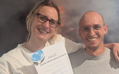
Successful MSc Defense by Anna Bischof
We congratulate Anna Bischof on the successful defense of her MSc thesis, "Feasibility of Unoccupied Aerial System-Based Active Fire Monitoring in African Savannas." Anna's research addressed one of the key challenges in fire ecology and remote sensing: understanding...
PhD Defense by Julia Rieder
Julia Rieder will defend her PhD thesis “Abiotic and biotic drivers of drought responses in European beech (Fagus sylvatica L.) inferred from field and LiDAR data” on the 11th of June at 4 p.m. at the EORC, John-Skilton-Straße 4a, Seminar room 2. The defense will be...
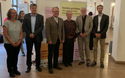
Exhibition officially opened: Science, Stories, and Partnership: “Stories from Two Cities – Living with Science!”
This week marked the official opening of the exhibition “Stories from Two Cities – Living with Science!” at Würzburg City Hall. The exhibition is part of the celebrations marking 60 years of partnership between Würzburg and Mwanza, bringing together stories, research,...
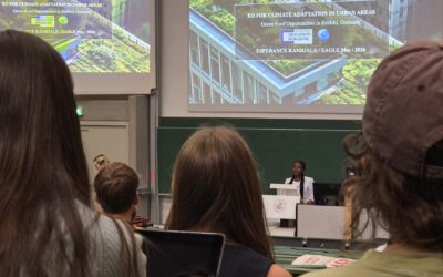
Sharing Knowledge: EAGLE MSc Students Engage with BSc Remote Sensing Lecture
At the EAGLE MSc program, we believe that the exchange of knowledge is just as important as the research itself. Recently, three of our students, Esperance, Patience, and Rosemary, had the opportunity to contribute to the Remote Sensing BSc lecture. As part of their...
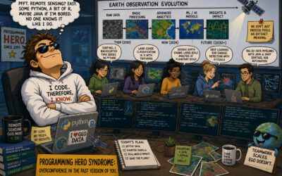
The Programming Hero Syndrome
The Quiet Ones and the Strange Career of “Experts” in Research After enough years teaching MSc and PhD students, running courses, sitting through conference talks, workshops, and the very scientific ritual of coffee breaks, some of us started noticing a type. Maybe...
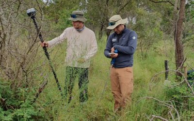
EAGLE Internship Presentation: Fire and drought research in savanna ecosystems – Kruger National Park
On June 16, 2026, Sebastian Rothaug and Clemens Schömig will present their internship results on " Fire and drought research in savanna ecosystems – Kruger National Park" at 12:00 PM in seminar room 3, John-Skilton-Str. 4a. From the abstract: Climate change is...