Enhancing LiDAR-Based Forest Analysis: A Successful Field Day in the Spessart

Enhancing LiDAR-Based Forest Analysis: A Successful Field Day in the Spessart

March 12, 2025

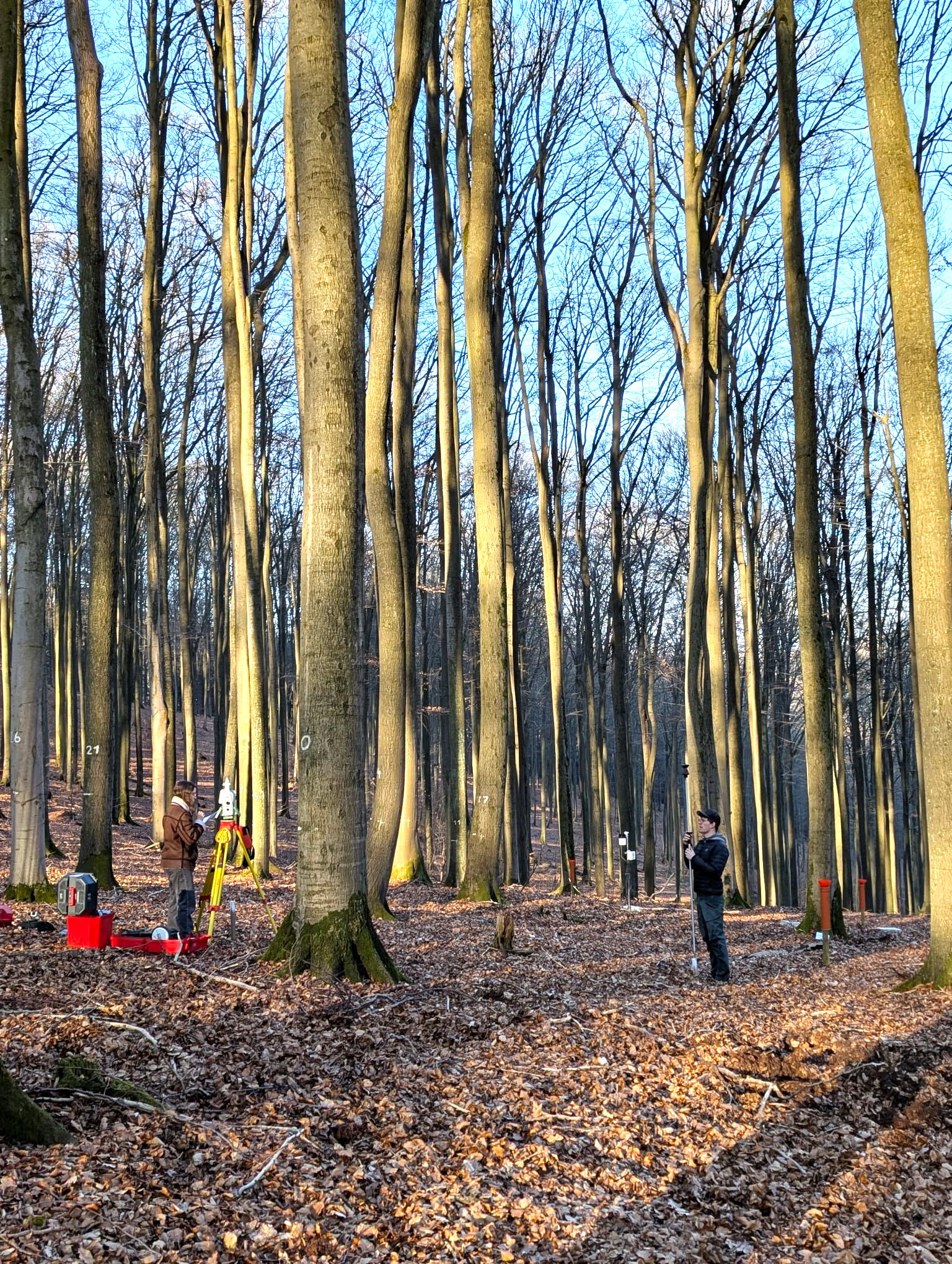
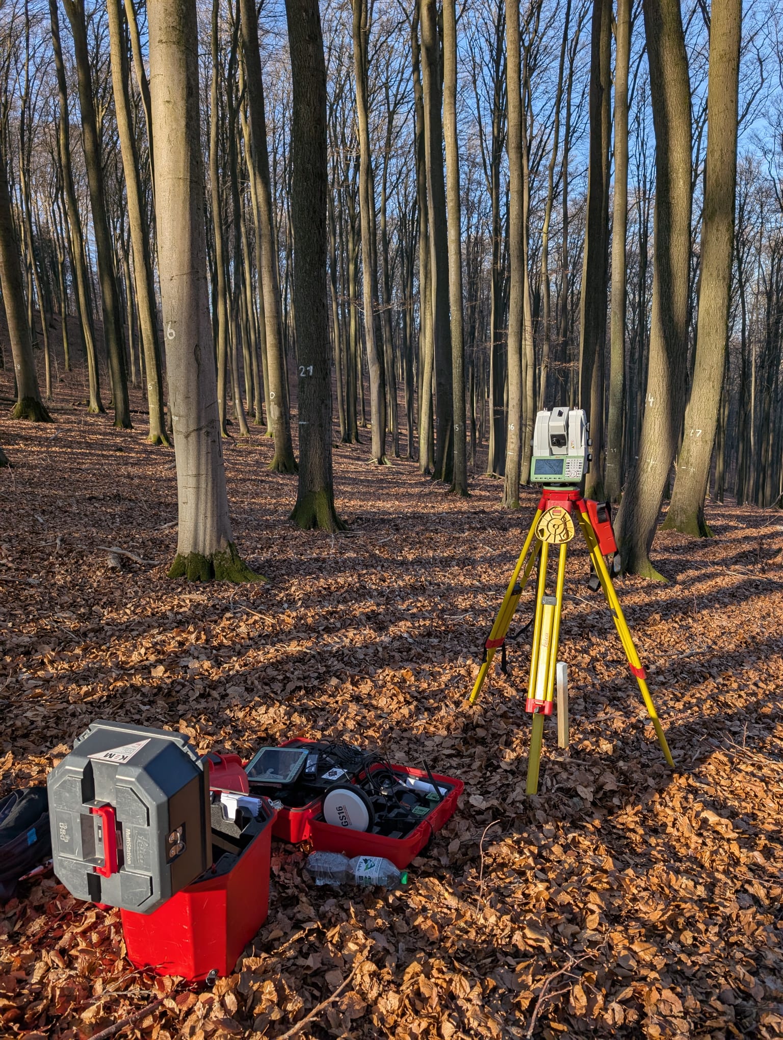
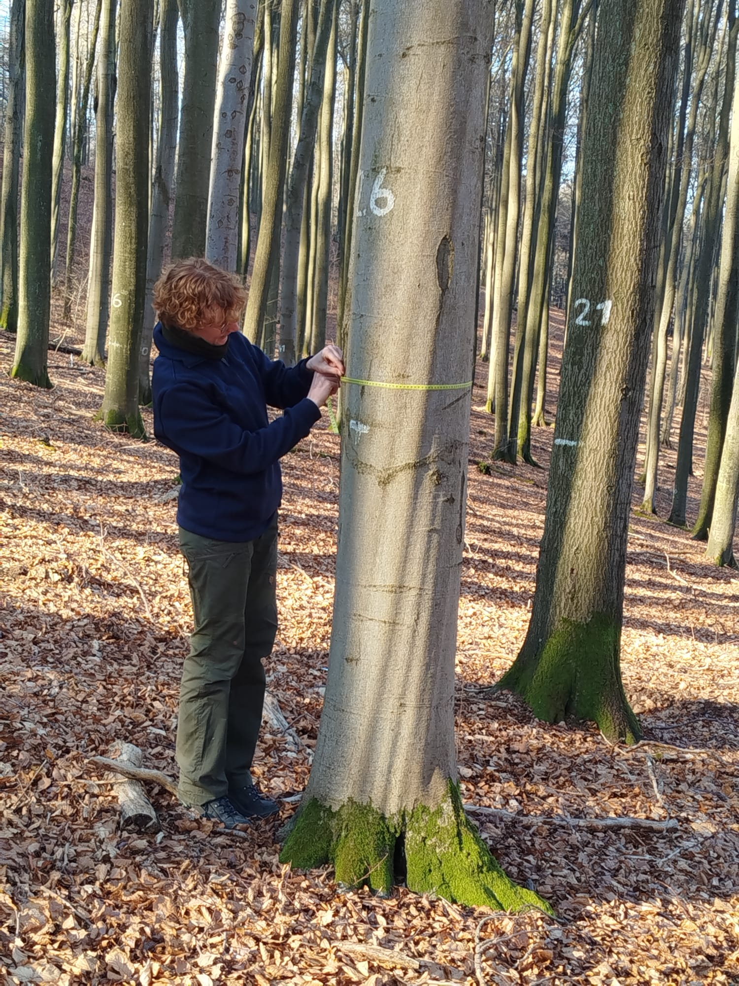
Last week, students and scientific staff from the Earth Observation Research Cluster and the Physical Geography took part in an exciting field day in the Spessart (Lower Franconia, Bavaria) to gather additional data for LiDAR-based tree segmentation and forest characterization research. Under perfect weather conditions with bright sunshine, they conducted additional terrestrial laser scans and collected further in-situ data for ground-truthing. The additional measurements will help refine our segmentation methods and provide valuable validation for our models integrating remote sensing data.

This successful field day underscores the importance of combining remote sensing techniques with ground-truthing data to improve forest structure assessments. We look forward to analyzing the collected data and integrating these findings into our ongoing research project EO4CAM.

you may also like:

Blender animation of Arctic Summer and Night

Blender animation of Arctic Summer and Night

Our EAGLE M.Sc. student Sebastian Rothaug continued working with various software programs and approaches we covered in our courses during the last winter term and came up with some great Arctic summer/winter animations using Blender. Sebastian's remarkable work with...

‘Ecosystem Services of the Urban Forest’-project meeting at DLR

‘Ecosystem Services of the Urban Forest’-project meeting at DLR

As part of the project "Ecosystem Services of the Urban Forest: area-wide modeling based on remote sensing and artificial intelligence" funded by the Deutsche Bundesstiftung Umwelt (DBU), the core team met at the Earth Observation Center (EOC) of the German Aerospace...

Five Years of Data Cube Innovations in AgriSens DEMMIN 4.0

Five Years of Data Cube Innovations in AgriSens DEMMIN 4.0

Over the past five years, we made significant advancements with our Data Cube development within the AgriSens DEMMIN 4.0 project. We enhanced the system architecture and the offerings of the Data Cube to optimize the use of remote sensing data for agricultural...