Category: fieldwork
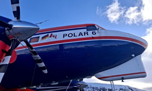
Polar 6 on Svalbard
The EORC team, particularly Dr. Jakob Schwalb-Willmann and Dr. Mirjana Bevanda, had the chance to...
Read More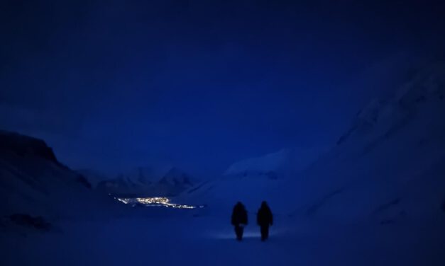
EAGLE M.Sc. Students doing Arctic Internship
This spring, Marlene and Aoibhin, two students from our EAGLE M.Sc. program have started their...
Read More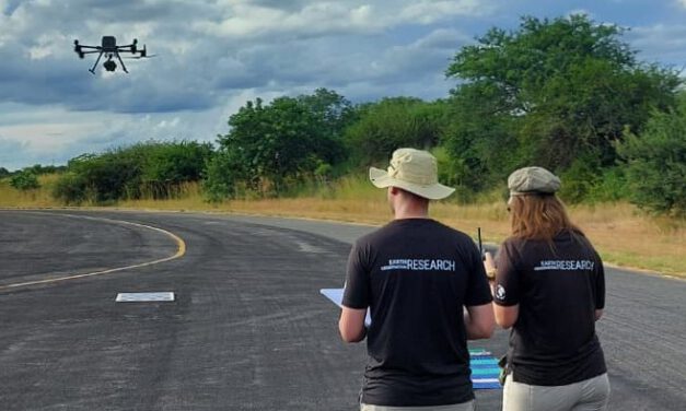
EAGLE Students Calibrate Thermal Sensors for Fire Mapping in Kruger National Park
Fieldwork, international collaboration, and hands-on sensor calibration – three EAGLE M.Sc....
Read More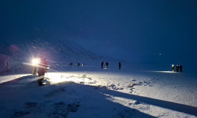
EORC researchers teaching drone remote sensing at UNIS, Svalbard
During their current visit to Svalbard, EORC researchers have been teaching UNIS students from all...
Read More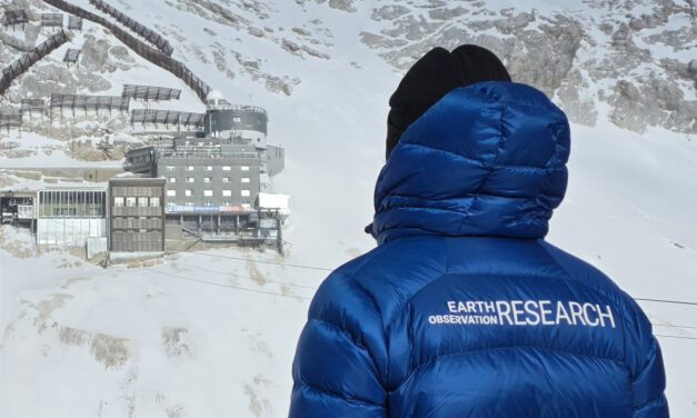
A Strong Base at the Top: Research and Training at Schneefernerhaus
We are grateful for the long-standing and growing opportunity to work with the Schneefernerhaus...
Read More
Our students wrote UFS press article
Our students have recently turned their fieldwork at the Environmental Research Station...
Read More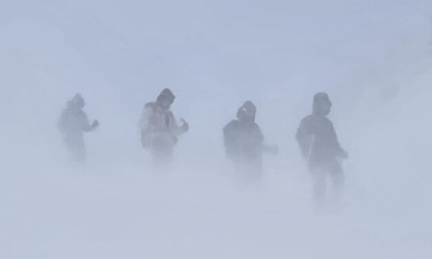
Learning Earth Observation Data Acquisition in Real-World Conditions
As part of our course on Earth Observation data acquisition, EAGLE students experience first-hand...
Read More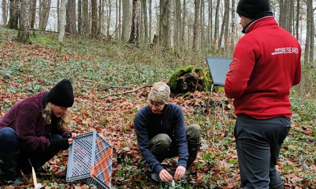
Christmas vibes in the University Forest
Today, EORC staff visited the University Forest in Sailershausen, focusing on routine field...
Read More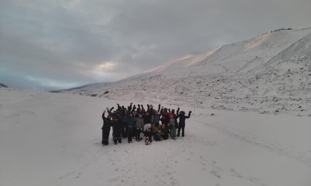
Guest lecture on UAV remote sensing of the cryosphere at UNIS, Svalbard
In the last two weeks, EORC employees Sebastian Buchelt and Jakob Schwalb-Willmann traveled to...
Read More
Field Excursion to Owabi Wildlife Sanctuary
As a highlight of the third day of our training at KNUST on the use of remote sensing for...
Read More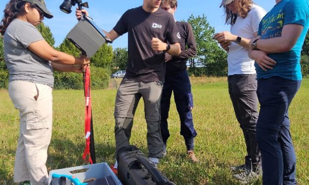
A Successful Day in the Field: Grassland Sampling in the Bavarian Rhön
On August 21st, the EO4CAM project team embarked on a successful field campaign in the...
Read More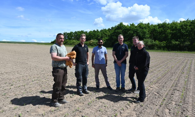
EO4CAM visited the Research Center for Arable Farming in Dry Areas in Schwarzenau
As part of the EO4CAM project, colleagues from the Earth Observation Research Cluster (EORC)...
Read More