Today was the first day of the Joint Urban Remote Sensing Event (JURSE). This bi-annual conference is committed to introduce innovative methodologies and to investigate the manifold aspects of the urban environment through orbital and airborne remote sensing data. The 2025 edition of JURSE currently takes place in Tunis, Tunisia: https://2025.ieee-jurse.org/
The Earth Observation Research Cluster (EORC) and the Earth Observation Center (EOC) of the German Aerospace Center (DLR) provided various contributions on the first day. The programme can be found here: https://2025.ieee-jurse.org/program/
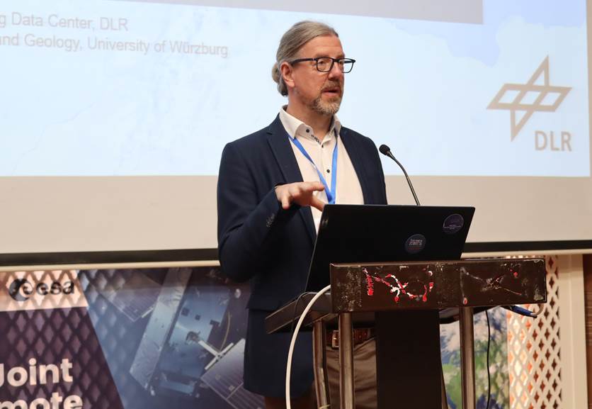
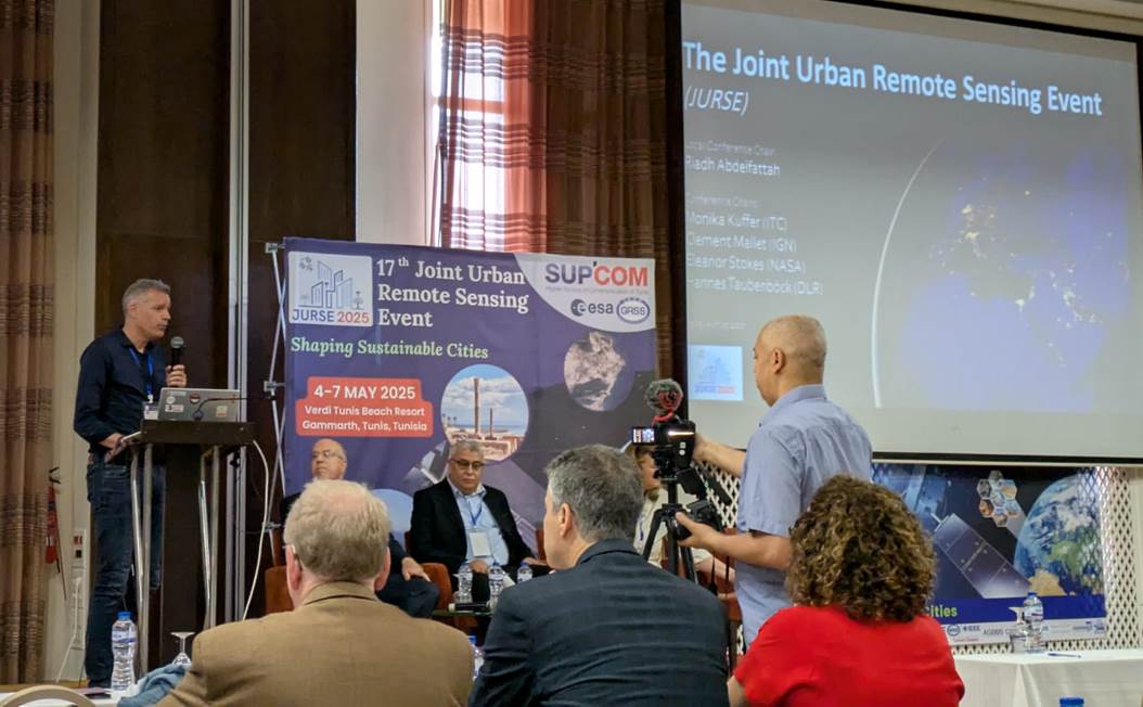
Hannes Taubenböck gave an introductory talk on the JURSE on behalf of his fellow conference chairs Monika Kuffer (ITC, University Twente), Clement Mallet (University of Paris est, IGN-ENSG) and Eleanor Stokes (NASA, Washington), and the local Chair (Riadh Abdelfattah, SUP’COM) in the opening session. The talk focused on the community, the history and the vision of the conference and urban remote sensing in general.
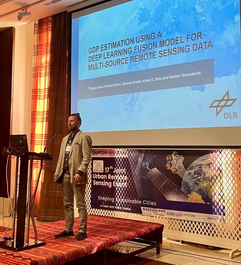
Thomas Stark demonstrated in his presentation titled “GDP Estimation using a Deep Learning Fusion Model for Multi-Source Remote Sensing Data” that the Fusion Model achieves high-resolution accuracy, reliably predicting GDP at a 1 km² scale. The model’s urban predictions closely align with observed values, representing a significant advancement by integrating remote sensing data, nighttime lights, and spectral indices. This approach enables more detailed and granular economic insights.
Richard Lemoine-Rodríguez presented a compelling study from the Geolingual Studies project titled “Digital Traces of Urban Heat: Social Media, Temperature, and Urban Morphology“. His research demonstrates that social media content generated by urban residents is both temporally and spatially correlated with air temperature, land surface temperature, and urban morphology. The study highlights how integrating heterogeneous datasets—including remote sensing imagery and user-generated content—enables researchers to incorporate humans as sensors, offering a richer, more nuanced understanding of urban environments that extends beyond traditional physical descriptions in remote sensing.
Thilo Erbertseder highlighted in his presentation titled “Urbanization, Economic Development, and Environmental Quality: Insights from Urban Growth and NO2 Pollution in Megacities” how urban growth and air pollution interact in 38 megacities worldwide, using satellite-based Earth Observation data from 1996 to 2015. It revealed a clear pattern aligned with the Environmental Kuznets Curve, showing that NO₂ pollution and settlement growth initially rises with economic development but eventually declines in high-income cities—though often with persistently high per capita burdens. The findings highlighted the need for income-specific strategies, including green investments and stricter regulations, to ensure sustainable urbanization and improved environmental quality.
Sofia Garcia de Leon reported in her talk titled “The Relation of Land Surface Temperature and Trees across Different Urban Land Use Classes based on Remote Sensing” on regression analyses examining the relationship between land surface temperature (LST) and various tree metrics—namely, percentage of canopy cover, tree height, and trunk diameter—across different urban land use classes. The results revealed a consistent negative correlation between LST and these tree metrics, indicating that areas with greater tree cover and larger trees tend to exhibit lower surface temperatures. This relationship persists across different land use types and is particularly pronounced in areas with sparse vegetation. These findings underscore the importance of considering both the locational context and the physical characteristics of trees in urban planning strategies aimed at enhancing thermal comfort.
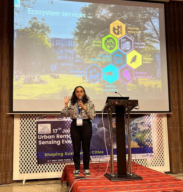
And, Sofia Garcia de Leon presented a paper led by Tobias Leichtle. The presentation titled “Estimating ecosystem services of urban trees based on remote sensing and in-situ measurements: A comparative study in Munich, Germany”. She presented a remote sensing-based approach for estimating tree and site parameters to support the “CityTree” urban tree ecosystem services model. The methodology involved tree detection and classification, along with the estimation of tree metrics and site characteristics such as canopy openness and surface imperviousness. The remote sensing results were validated against field-collected data. The analysis revealed that, while remote sensing tends to overestimate certain ecosystem services—such as CO₂ storage and cooling through shading—it performs reliably in estimating biomass and cooling via transpiration. Importantly, remote sensing enables comprehensive, area-wide assessments of urban trees, including those on private property, offering valuable insights to inform urban planning and decision-making by city administrations.
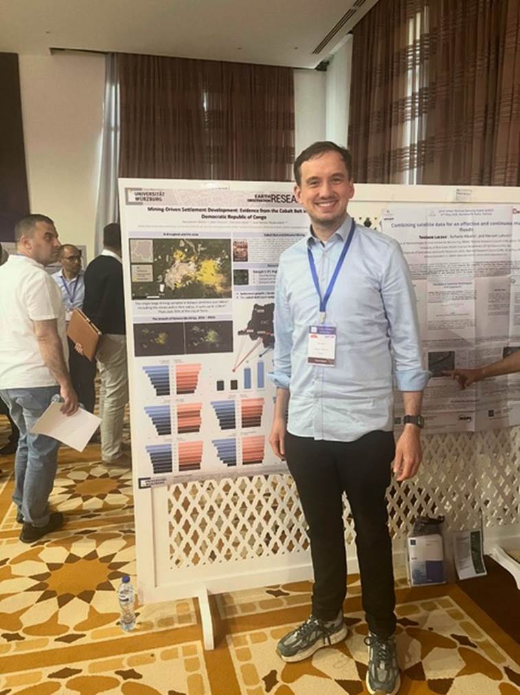
John Friesen presented a paper led by Konstantin Müller. The poster was titled “Mining-Driven Settlement Dynamics: Evidence from the Cobalt Belt in the Democratic Republic of Congo”. There it was examined how mining activities in the southern Democratic Republic of Congo have driven hyper-local settlement expansion between 2016 and 2023. Using Google’s 2.5D Building dataset, the changes in building counts at city, regional, and national scales were quantified. The analysis reveals that cities adjacent to cobalt mines experienced over a 130% increase in buildings—far outpacing the 20-30% growth observed nationwide—underscoring mining’s powerful economic pull.