On Tuesday, the 15th of July, two InnoLab projects of our EAGLE students have been presented at our Earth Observation Research Cluster:
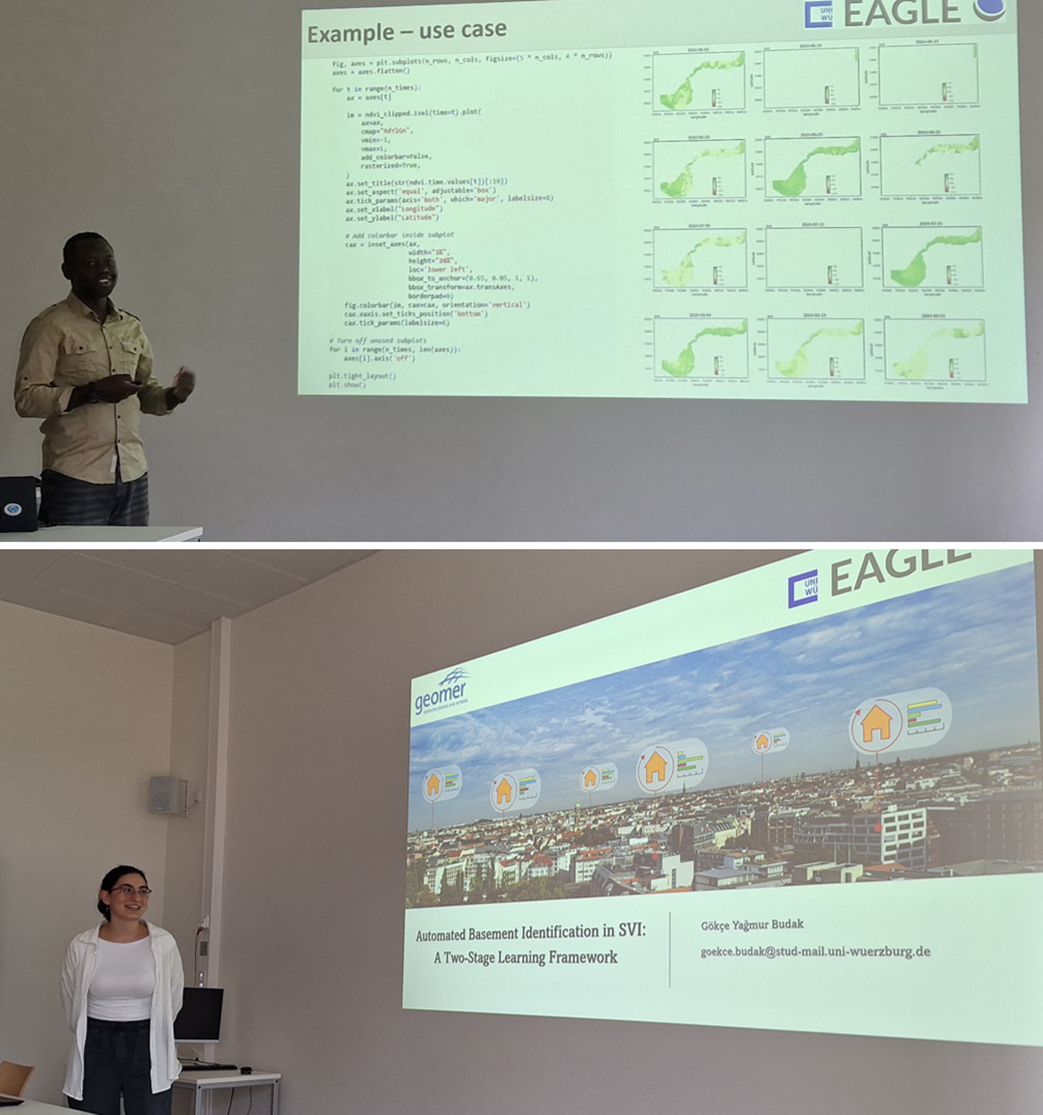
Jean de Dieu Tuyizere presented his topic titled “Building an Earth Observation Data Cube for Volcanoes National Park, Rwanda“.
Abstract: The increasing availability of Earth observation (EO) data offers unprecedented opportunities for environmental monitoring and decision-making. This project presents the development and application of an EO data cube tailored for monitoring vegetation dynamics in Volcanoes National Park (VNP) of Rwanda, by integrating large volumes of Sentinel-2 Level 2A data. The data cube facilitates efficient, consistent, and scalable analysis of vegetation changes over time. Thus, the system supports conservationists and policymakers by enabling timely and accurate assessments, thereby enhancing the capacity for informed ecological management and protection strategies within the park.
The hosting institution was the Volcanoes National Park. He was supervised by Dr. Insa Otte from our EORC.
Gökçe Budak presented her topic titled “Automated basement identification in SVI: A two-stage learning approach“.
Abstract: The information about basement presence in buildings significantly impacts hazard modeling, influencing exposure assessments for flooding, radon-gas exposure, and structural vulnerabilities such as soft-story conditions. Current geospatial datasets often lack this critical attribute, limiting the precision of risk evaluations. This study introduces an AI-driven, modular pipeline utilizing Mapillary street-level imagery (SVI) to detect basement presence systematically. A custom Python package was developed to efficiently filter and spatially align SVI with detailed building data from the comprehensive Full Haus database by geomer GmbH, a nationwide building dataset for Germany. Employing advanced object detection combined with few-shot learning methodologies, this pipeline effectively addresses challenges related to limited training samples and imbalanced class distributions. The resulting method generates a novel geospatial data layer, substantially improving the accuracy and effectiveness of hazard and risk assessments.
The hosting institution was geomer in Heidelberg. She was supervised by Dr. Patrick Aravena-Pelizari and Prof. Dr. Christian Geiß from DLR.


