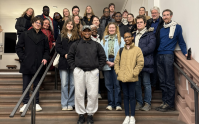
On Friday the 18th of July, colleagues from our EORC and from DLR were invited by Martin Klotz to the Geospatial Solutions & Analytics Team of the Allianz SE Reinsurance – Cat Risk Management.
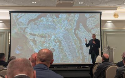
The topics of earth observation and the requirements of the insurance industry have many points of intersection. During the meeting manifold opportunities for cooperation were discussed. Beyond that Hannes Taubenböck, Patrick Aravena Pelizari and Christian Geiß gave two presentations during the visit:
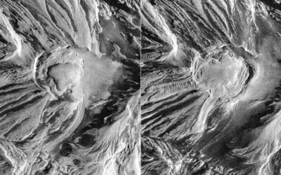
- Remote sensing in uncertain times: global change, natural hazards, armed conflicts
Abstract: Modern remote sensing from space, today with spatial resolutions of up to 15cm and in principle daily repetition rates, allows to document changes on the land surface with high precision. This makes it possible to record the effects of natural hazards or the development of armed conflicts, refugee camps, population and settlement trends in border regions, and the like. This presentation shows potentials, limitations and ethical concerns.
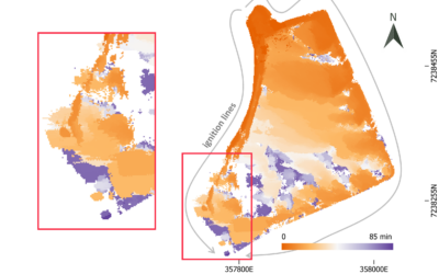
- Multi-hazard exposure modeling with multimodal geo-image data and deep learning
Abstract: The ongoing processes of population growth, urbanization, and climate change have significantly increased the number of people and assets exposed to natural hazards worldwide. Effective disaster management requires up-to-date exposure models with detailed, spatially localized information on vulnerability-relevant building characteristics. The presented research explores the potential of multimodal geospatial imagery and deep learning to efficiently provide structural building attributes for natural hazard risk assessment.
This summer term, Martin Klotz has given a guest lecture in one of our EAGLE seminars. We thank him for his engagement and look forward to future collaborations.