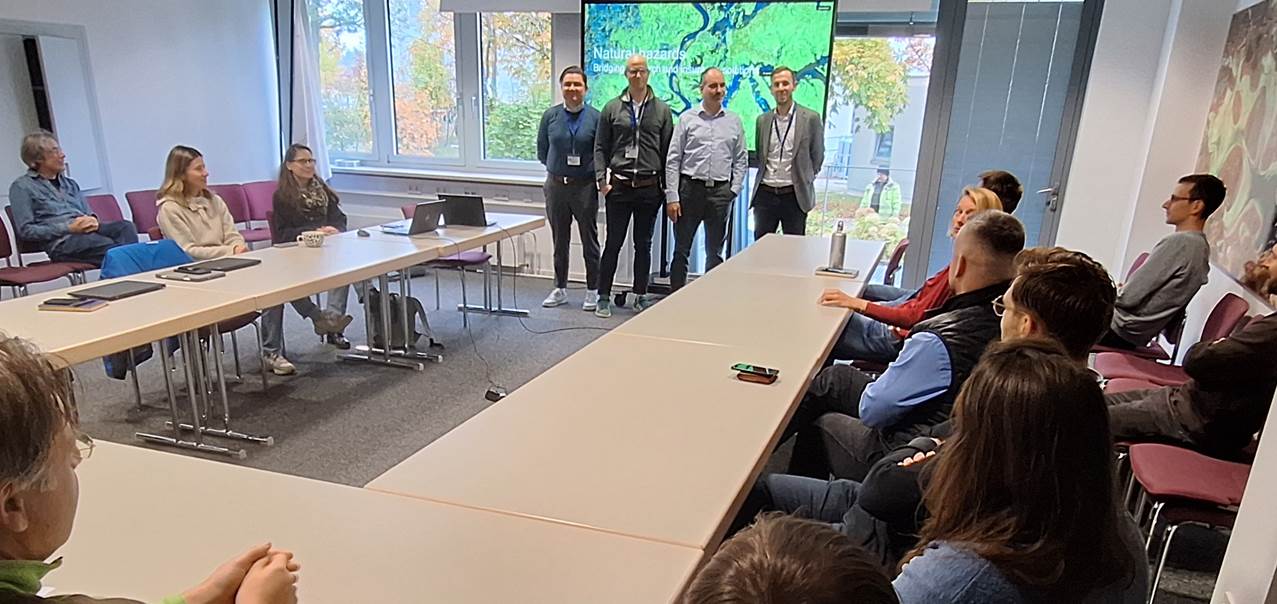
On Friday the 17th of October, we welcomed Martin Klotz and his Geospatial Solutions & Analytics Team of the Allianz SE Reinsurance – Cat Risk Management at DLR in Oberpfaffenhofen.
In an inspiring guest lecture titled “Natural hazards – From research to insurance coverage“, Martin Klotz and Markus Aichinger introduced geospatial analytics and probabilistic catastrophe modelling.
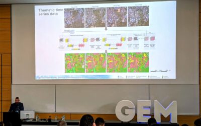
Here is the Abstract of the lecture: Geospatial analytics and probabilistic catastrophe modelling are central to quantifying, pricing, and managing natural hazard risks in insurance. While climate change and demographic shifts are intensifying the frequency and severity of catastrophic events, the need for a comprehensive risk understanding through scientific research, technology and data is more important than ever. Allianz Re’s Nat Cat Risk Management Team, comprising experts in seismology, meteorology, hydrology, engineering and geography drives research, model development, and geospatial solutions to support risk assessment and business decisions. The presentation gives an overview of our work including the development and application of global hazard maps, automated geoinformation services, and property-level data integration to enable precise, location-specific risk evaluation, and optimized portfolio management. With our work we aim to help closing the insurance gap, strengthening resilience against escalating losses, and supporting strategic decision-making in a rapidly changing risk landscape.
In their return visit (we have reported on the discussions for collaboration https://remote-sensing.org/invited-lectures-at-allianz-se-reinsurance/), the teams further discussed how earth observation and the requirements of the insurance industry intersect.