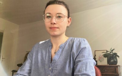
Our spotlight series introduces the researchers driving the Earth Observation Research Cluster and offers a glimpse into their scientific journeys. Today we are delighted to feature Ariane Droin, whose work explores how geospatial data and remote sensing can help us better understand urban environments and improve the quality of life in cities.
From Mountain Research to Urban Remote Sensing
Ariane studied geography at the University of Graz in Austria, where she cultivated a strong interest in spatial analysis and environmental processes. She completed two master’s degrees: one in Applied Physical Geography and Mountain Research and another in Geospatial Technologies, bridging environmental science with advanced geospatial methods.
This interdisciplinary training sparked her interest in urban systems, where spatial data and remote sensing offer powerful tools for analyzing how cities grow, change, and function.
Understanding the Structure of Cities
Ariane completed her PhD at the Earth Observation Research Cluster (EORC) and is now a postdoctoral researcher at the University of Würzburg, working closely with the Earth Observation Center (EOC) of the German Aerospace Center (DLR). Her research focuses on using geospatial and remote sensing data to analyze urban structure and accessibility.
Linking Urban Form and Human Well-Being
Ariane’s research extends beyond physical city structure. She aims to understand how local characteristics—such as connectivity, access to services, and availability of green spaces—shape the everyday experiences and well-being of urban residents.
By leveraging large geospatial datasets, remote sensing products, and network analysis, she contributes to the development of fine-scale indicators that help planners and policymakers identify spatial inequalities and design more equitable urban environments.
Interdisciplinary Research and Collaboration
Throughout her career, Ariane has collaborated on interdisciplinary projects that combine remote sensing, geoinformation science, and urban studies. Her work has contributed to research on:
- urban heat exposure and environmental risk
- distribution and accessibility of green spaces
- building stock data derived from remote sensing
- neighborhood-level mobility and accessibility
These collaborations illustrate how Earth observation data can support urban planning, climate adaptation strategies, and sustainable development.
Current Work
As a postdoctoral researcher and lecturer in the EAGLE MSc program, Ariane continues to explore how remote sensing, GIS, and network analysis reveal the complex spatial patterns that shape cities. Her work aims to bridge the gap between large-scale geospatial datasets and the daily realities of urban residents.
By connecting advanced geospatial methods with questions of sustainability and urban livability, she contributes to the development of data-driven approaches for building healthier, more accessible, and more equitable cities. She is currently pursuing her habilitation, focusing on the broader theme of Earth Observation of livelihoods in urban environments.