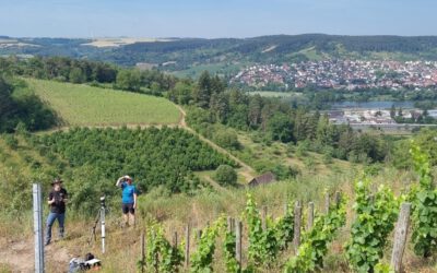

How do the municipalities in the Lower Franconian Main valley deal with flooding and heavy rainfall?
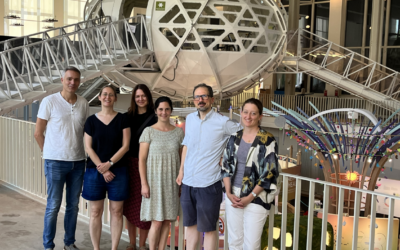
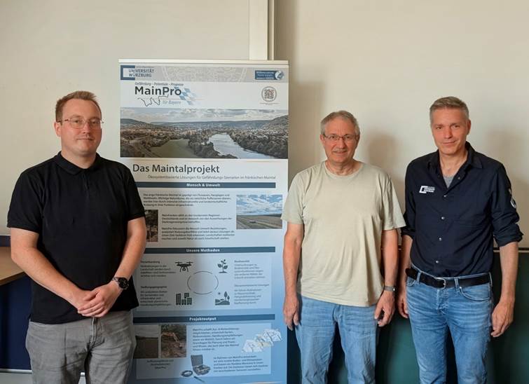
This question was the focus of a working meeting of the Remote Sensing and Social Geography working groups on July 15, 2026, for the “MainPro” research project (Ecosystem-based solutions for hazard scenarios). Prof. Dr. Jürgen Rauh, Prof. Dr. Hannes Taubenböck, and Tobias Riemann, M.Sc., came together to link the previous findings from the spatial geodata analysis with the qualitative investigations of the project and to evaluate the next steps.
The social geography work package, which also forms the core of Tobias Riemann’s dissertation, was the center of attention at the meeting and provides insightful glimpses into the reality of municipal planning. Based on detailed risk maps, particularly vulnerable municipalities were specifically selected in advance for in-depth interviews.
In addition to presenting the initial findings from these interviews, another focus of the meeting was the conceptualization of the upcoming regional workshops. The project participants engaged in intensive discussions regarding the methodological design of the events, which are to be implemented in various modules such as keynote presentations, mock urban land-use planning, and group discussions. Furthermore, the definition of the target audience was coordinated: It was necessary to weigh up how to optimally compose the participant group and to what extent, for example, students could also be included alongside actors from local politics, specialized municipal administrations, and initiatives in order to ensure a targeted discussion.