
On Monday, 28.09.26, at 12 p.m., Henning Riecken will present his MSc thesis on “Mapping and Structural Assessment of Woody Vegetation in Bavaria Using Digital Elevation Models and Multisource Geodata” in in seminar room 3, John-Skilton-Str. 4a.
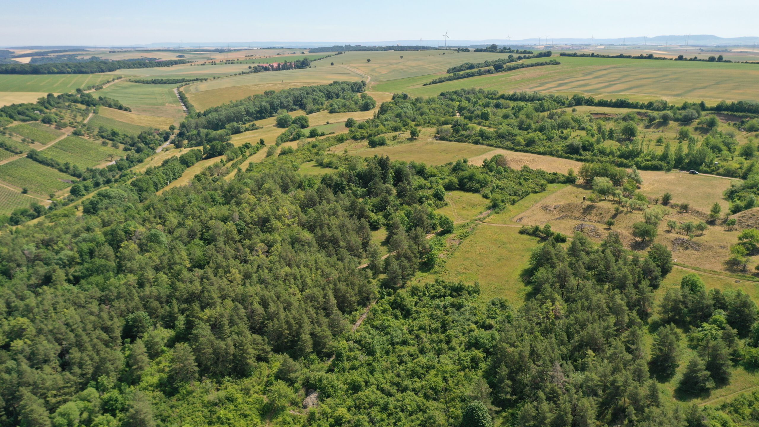
From the abstract: This study presents a high-resolution Woody Vegetation Height Model for the entire State of Bavaria. Based on open digital elevation models, spectral indices, and ancillary geodata, a transparent rule-based workflow was developed to map woody vegetation independently of land use and without machine-learning models.
In addition to forests, the model captures often-overlooked trees outside forests, such as hedgerows, riparian vegetation, and orchards. It therefore provides a comprehensive and reproducible basis for monitoring woody vegetation structure, biodiversity, and carbon stocks.
examiner: Dr. Julian Fäth, 1st supervisor: Prof. Dr. Claudia Kuenzer, 2nd supervisor: Dr. Sarah Asam