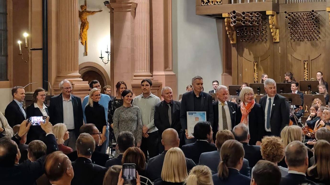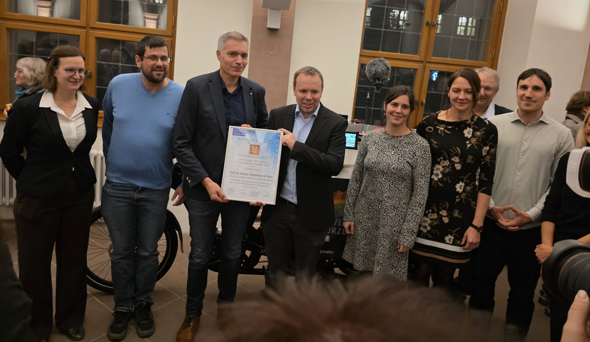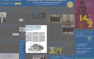
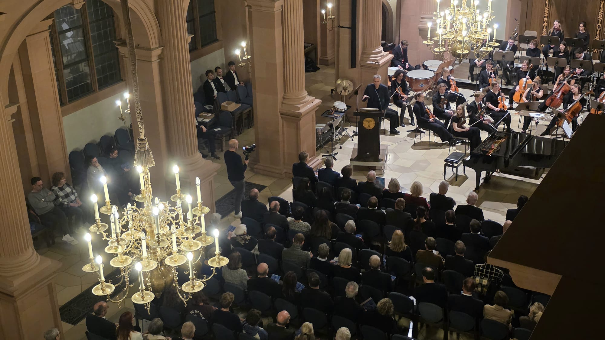

“A remote sensing scientist, a social geographer, an informatics researcher, a sports researcher, a psychologist, a linguist and an economist meet … what sounds like the start of a joke, was the start of a great interdisciplinary research project.” That’s how Hannes Taubenböck opened his acceptance speech for our interdisciplinary project team that was awarded the ‘Würzburger Förderpreis Forschung und Transfer’ by the Vogel Stiftung Dr. Eckernkamp and the Wittenstein Stiftung.
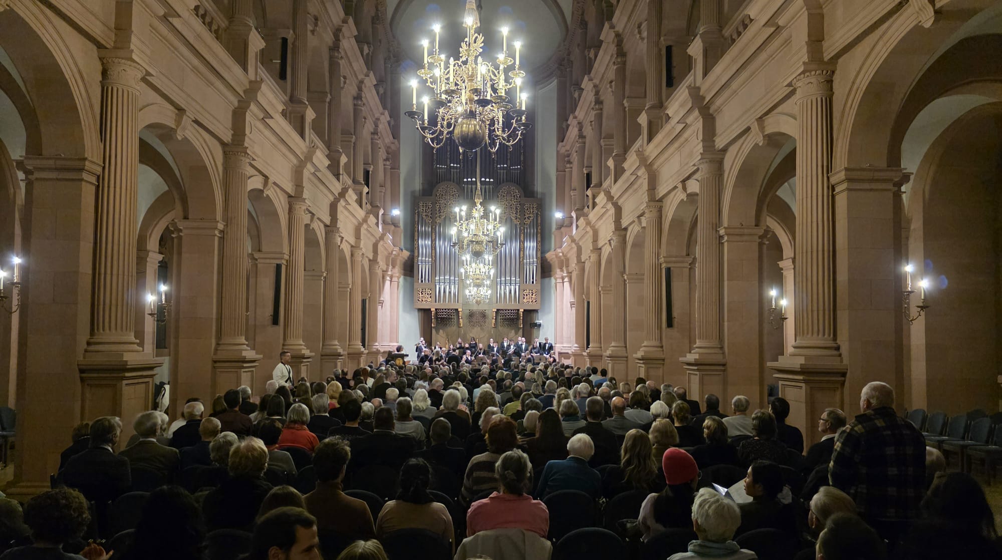
The occasion in the Neubaukirche was the formal celebration of our newly funded project URBAN:Pulse that bases on our Super-Test-Site Würzburg project (see e.g. here: https://remote-sensing.org/super-test-site-wurzburg-from-the-idea-to-realization/ ) . The Wittenstein Foundation and the Dr Eckernkamp Vogel Foundation, in collaboration with the Julius-Maximilians-University Association, awarded the sponsorship prize to our project proposal. The vice president of our University Prof. Dr Caroline Kisker presented the award to our team. Beyond, the Chairman of the Julius-Maximilians-University University Association Prof. Dr Gunther Schunk was one of those who congratulated our team, along with a lovely mix of guests. Seeing all of them in one room was a good reminder that this project only works because nobody involved stays in their own disciplinary drawer.
And that’s the point of URBAN:Pulse. We – i.e. researchers from our Julius-Maximilians-University in Würzburg (the principal investigators (PI) are: Prof Marco Schmidt, Prof Carolin Biewer, Prof Matthias Gamer, Prof Gunther Gust, Prof Jürgen Rauh, Dr Birgit Sperlich, Prof Hannes Taubenböck), from the Karlsruhe Institute of Technology (PI: Dr Peter Zeile), the Friedrich-Alexander-University Erlangen-Nürnberg as well as The Leibnitz Institute für Länderkunde in Leipzig (PI: Dr Dominik Kremer), and the German Aerospace Center – aim to understand how cities can become healthier, more liveable and socially fairer. So we’re tying together geodata and environmental measurements with how people actually move through the city, how their bodies react to stress, and how they feel about the places they spend time in. Where do heat, noise or a sense of insecurity weigh on people? And just as important, which conditions help wellbeing and social participation? The long-term goal is a digital tool for municipalities, so planners can judge measures like additional greenery and shade or calmer traffic based on scientific data and evidence.
Thanks to the foundations for backing research that is meant to leave the lab and land in practice. Here at EORC, we thank particularly all students, doctoral students and post-docs that have been involved in the Super-Test-Site project over the years. And, thanks to everyone who came, celebrated with us and will help get this project going. Now the research work starts.