
CAWa meeting with CAREC in Almaty

CAWa meeting with CAREC in Almaty

February 6, 2015

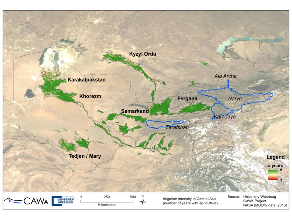
Irrigated cropland extent Central Asia

Focus region of CAWa WP3: Irrigation systems in the Aral Sea Basin

News from the CAWa project “Water in Central Asia”: On 6.2.2015 our team visited the Regional Environment Center of Central Asia (CAREC). The meeting focused on the identification of potential users and specification of use cases of the new web-based application “Water Use Efficiency Monitor for Central Asia” (WUEMoCA), which is subject of the third phase of the project.

WUEMoCA is the major topic of WP3 in CAWa phase III (2015-2017). It focuses on the provision of an online tool for regional assessments of water use efficiency in all extensive downstream irrigation systems of the transboundary Aral Sea Basin. The first aim is to provide information about crop yields of the major crops, i.e. “cotton”, “rice”, and “wheat”, based on free-of-charge accessible remote sensing (MODIS 250m) and meteorological (ECMWF) data aggregated at different scales ranging from Rayons to irrigation planning zones, and Oblasts. With this first part of the tool, negative developments should become visible (early warning and localization of indication for agricultural drought, harvest shortfalls).
P1140126

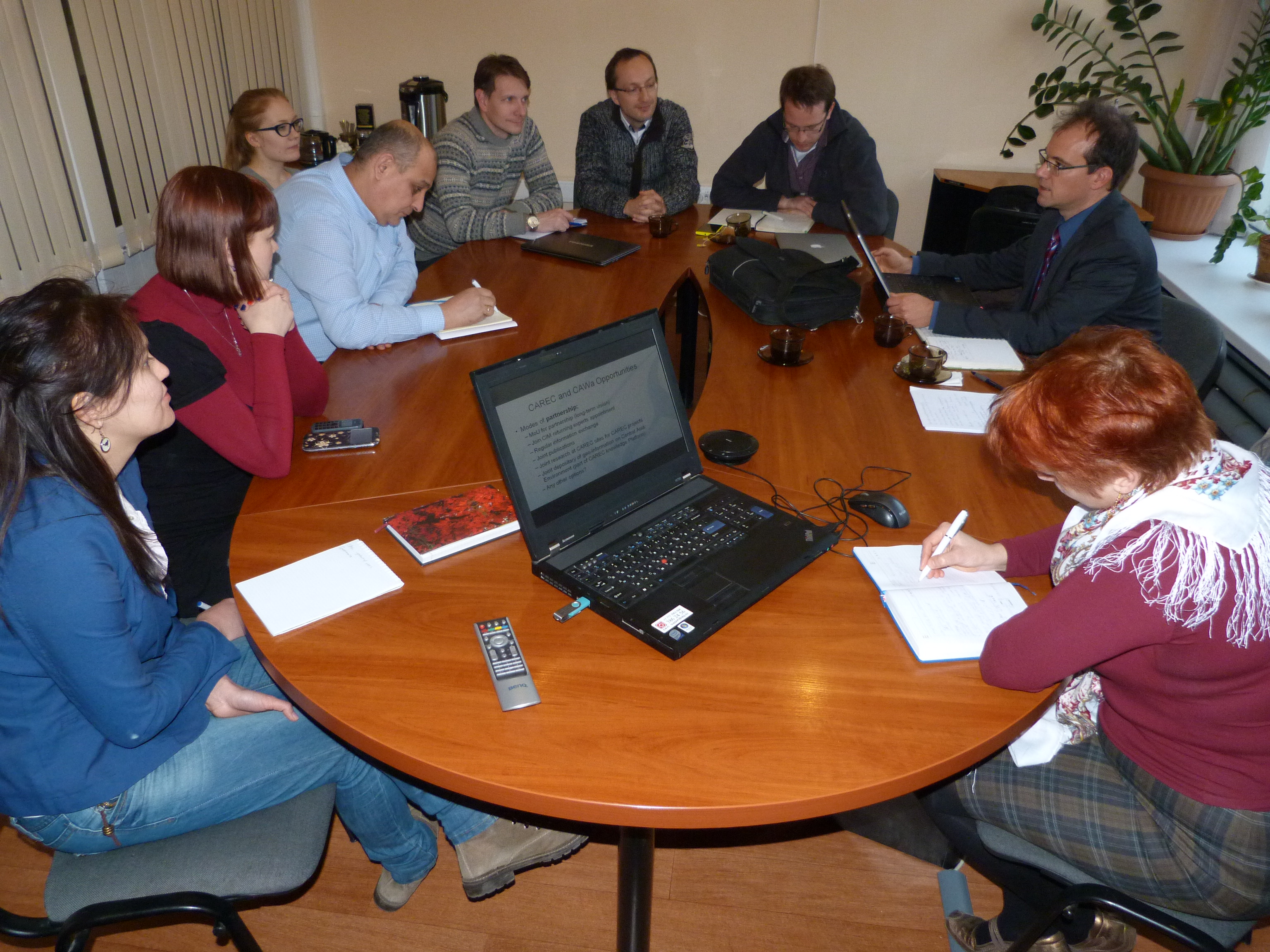
Final summary meeting of the CAWa meeting at CAREC in Almaty

Second, user interaction should become possible for adding data on additional crops and irrigation water amounts for the calculation of water use efficiency (how much water was used for crop production m3/t). The user will be enabled to contribute the additional information to the administrative boundaries and to request specific information based on user defined areas of interest. The second step should trigger user participation and raise interest in the development of own digital data management tools among the partners and users.

follow us and share it on:

you may also like:

Setting Up for the 2nd EO4CAM Nutzerworkshop

Setting Up for the 2nd EO4CAM Nutzerworkshop

Right now our staff are busy hauling cases, mounting displays and testing every cable for the 2nd EO4CAM Nutzerworkshop, “Erdbeobachtung für die Klimaanpassung, behördliche Akteure in Bayern”. The doors open tomorrow, and the exhibition...

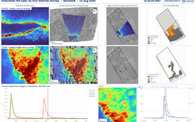
A dashboard for multi-UAS thermal data

A dashboard for multi-UAS thermal data

Mapping an active fire with various drones flying in parallel is hard enough. But getting the data processed, evaluated and turned into research datasets is a different story. The publication is on its way, and for now we’d like to share a dashboard by Antonio José...

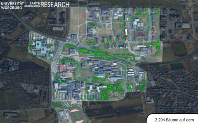
Have you ever wondered how many trees there are on our campus?

Have you ever wondered how many trees there are on our campus?

Sometimes a chat during a formal event like the one for the Urban:Pulse funding celebration, results in something totally different. Following a discussion with the vice-president of our University, we promised to look into the research by one of our PhD students...

Earth Observation at the DFG BETAFOR workshop

Earth Observation at the DFG BETAFOR workshop

Jakob Schwalb-Willmann represented our team at the DFG BETAFOR workshop in the Bavarian Forest National Park. The room was full of biologists, which is the whole point of an interdisciplinary project, and our UAS multisensor time series drew a lot of interest from the...

Thermal Drone Data Acquisitions: CalVal project with Informatics

Thermal Drone Data Acquisitions: CalVal project with Informatics

Thermal cameras on drones look very good - visually. They show us temperature of our study objects be it stressed trees, warm patches in a city or active fires. But we do not yet know for sure how far we can trust the temperature values they deliver especially when...

bzgl. Art. 50 Verordnung (EU) 2024/1689 (AI Act):

Überwiegend werden eigene originäre Texte und Bilder des EORC genutzt, jedoch sind einige Inhalte von blog post Texten teilweise mit Hilfe von KI überarbeitet worden und einige Bilder sind ganz mit KI erstellt, die jedoch deutlich keine photorealistische Darstellungen abbilden. Aussnahmen sind KI generierte fernerkundliche Datensätze, die explizit für Forschungszwecke mit KI erstellt wurden, hier wird aber durch den assoziierten Text der wissenschaftliche Grund der KI generierten Bilder erläutert.

Share This