Last week, our Alpine Earth Observation course brought a group of EAGLE students high into the Bavarian Alps, immersing them in a landscape where science and the raw beauty of high Alpine nature meet. Nestled at the Schneefernerhaus research station, the course offered a hands-on learning experience that went far beyond the classroom.
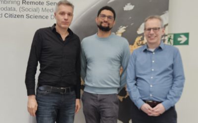
Led by PhD students Basil Tufail and Elio Rauth, and supported by the UAS research team under the guidance of Dr. Mirjana Bevanda and Antonio Castaneda-Gomze, students explored how field work and remote sensing must go hand in hand for robust environmental research. From collecting vegetation samples to conducting multispectral measurements using unmanned aerial systems (UAS), every activity was embedded in the wider context of ongoing research coordinated by the JMU-UFS science team led by Prof. Tobias Ullmann.
It quickly became clear that no satellite image or algorithm can replace the depth of understanding gained by standing in the field, observing the terrain, and collecting in-situ data. Students saw firsthand how local conditions—vegetation structure, soil moisture, topography—affect the interpretation of remote sensing data, and how combining both perspectives allows for more meaningful and accurate analysis.
But learning in the Alps is not without its challenges. The group hiked through steep slopes and navigated shifting weather conditions that tested both stamina and adaptability. Rain jackets, sturdy boots, and a good sense of humor became as essential as any field notebook.
Despite the occasional physical demand, the course atmosphere was anything but heavy. There were shared laughs over field lunches, moments of awe at panoramic views, and the quiet satisfaction that comes from collecting data that truly matters. The students left not only with new technical skills but also a deeper appreciation for the intricacies of working in complex alpine environments.
In the end, the Alps proved to be the perfect classroom—a place where science is grounded, quite literally, in the terrain beneath your feet. We are very much looking forward to the next course at Schneefernerhaus and its surrounding in the upcoming months!