Blender GIS introduction

Blender GIS introduction

m

November 21, 2024

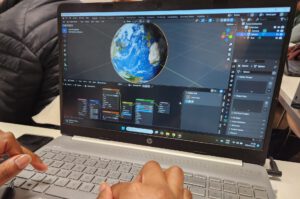
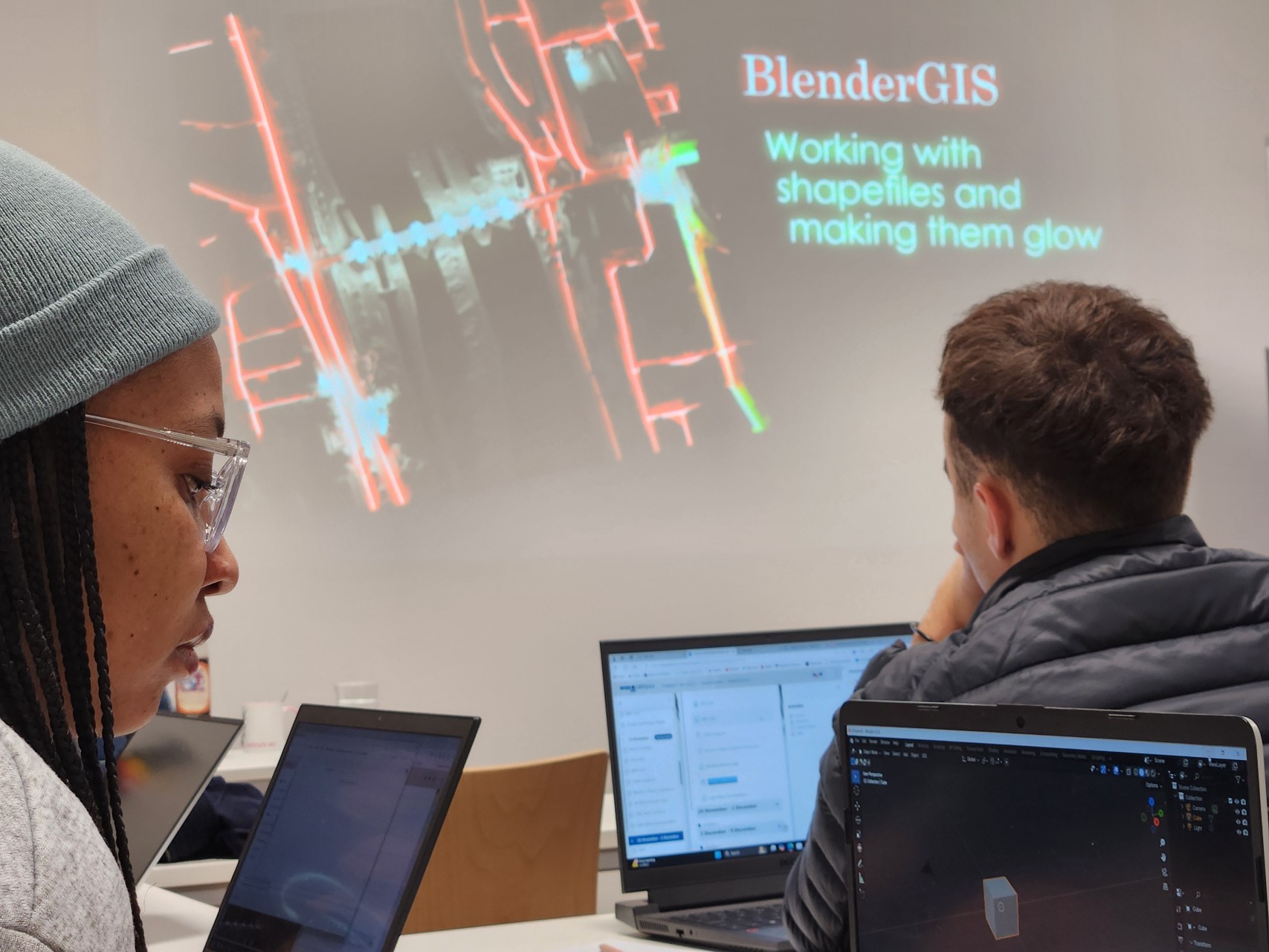
Within out EAGLE Earth Observation M.Sc. we also cover software applications which might not be used on a regular basis within our field of research but are sometimes highly useful to display our spatial data in a visually appealing way – and also potentially provides more insights.
Different examples are covered like a rotating globe with different landcover information such as true color and night lights or a more detailed map of a bridge and add glowing lights as well as reflecting water to make the data more realistic and display potential impacts of urban lightning on the surrounding.
More examples will be covered in the next weeks using Blender for our Earth Observation research field

you may also like:

Mapping Paleontology using UAS on cliffs

Mapping Paleontology using UAS on cliffs

We’ve recently started an exciting research project focused on mapping steep rock slopes that contain valuable paleontological information. Unlike most drone surveys that focus on horizontal ground surfaces, our work is aimed vertically—capturing data along exposed...

Talk at UAS Workshop on Applications in Forest and Forestry Science

Talk at UAS Workshop on Applications in Forest and Forestry Science

We are pleased to share that our Unmanned Aerial Systems (UAS) research team leader, Dr. Mirjana Bevanda, recently gave a talk at the workshop "UAS for Forest and Forestry Application and Science." The event brought together experts from various research institutions...