Contributions to the UN-SPIDER International Conference on Space-based Solutions for Disaster Management

Contributions to the UN-SPIDER International Conference on Space-based Solutions for Disaster Management

March 13, 2024

The “UN-SPIDER Bonn International Conference Space-based Solutions for Disaster Management: Early Warnings for All” takes place from the 12th to the 14th of March in Bonn, Germany. The conference is organized by United Nations Office for Outer Space Affairs (UNOOSA) / UN-SPIDER Center for Remote Sensing of Land Surfaces (ZFL) and the University of Bonn in cooperation with the German Aerospace Center (DLR).


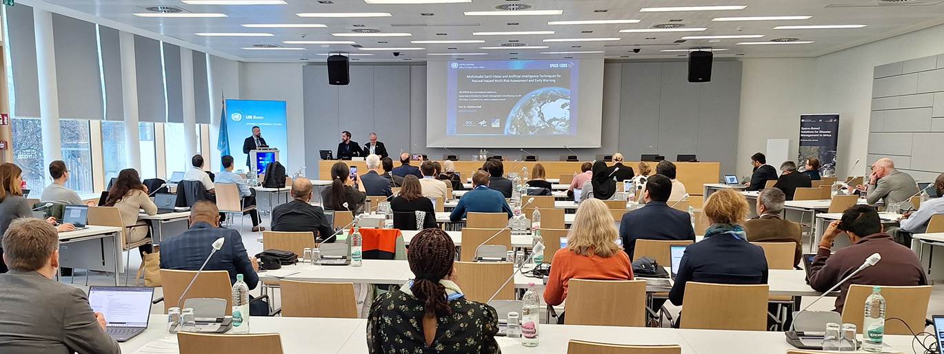
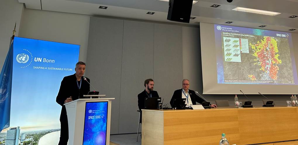
The DLR supported not only the organization of the UN-SPIDER event, but also contributed presentations on on-going research works: Johanna Roll from the Earth Observation Center (EOC) of the DLR gave a talk titled “Automatic Monitoring of Warnings and Early Triggering of Satellites During Flood Events”. Our lecturer Prof. Dr. Christian Geiß gave a talk titled “Multimodal Earth Vision for Natural Hazard Multi-Risk Assessment and Early Warning“. And, our Professor Hannes Taubenböck presented the work carried out in the BMBF-funded inform@risk project. His talk was titled “Landslide Risk Assessment and Mitigation in Cities“.


you may also like:

Five Years of Data Cube Innovations in AgriSens DEMMIN 4.0

Five Years of Data Cube Innovations in AgriSens DEMMIN 4.0

Over the past five years, we made significant advancements with our Data Cube development within the AgriSens DEMMIN 4.0 project. We enhanced the system architecture and the offerings of the Data Cube to optimize the use of remote sensing data for agricultural...

Workshop on “Geodata, (social) media data and linguistics”

Workshop on “Geodata, (social) media data and linguistics”

On 26 February 2025, a workshop on "Geodata, (social) media data and linguistics" was held at DLR in Oberpfaffenhofen. Colleagues from the German Remote Sensing Data Center (DFD) of the DLR and from the Chair of English Linguistics as well as our Earth Observation...

UAS Team Acquires high alpine snow data

UAS Team Acquires high alpine snow data

In a remarkable display of teamwork, our UAS (Unoccupied Aerial Systems) team has successfully managed to overcome some technical obstacles present since last summer on UAS data collection in steep terrain and acquired a wealth of data using lidar, multispectral, and...