John Friesen gives a talk at DLR

John Friesen gives a talk at DLR

July 18, 2025

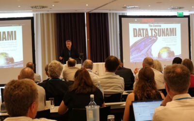
On the 17th of July, Dr. John Friesen gave a inspiring talk at the seminar of the department “Georisks and Civil Security (GZS)” at the Earth Observation Center (EOC) of the German Aerospace Center (DLR). The talk was titled “Urbanization and infrastructure in the context of climate change“.


To be modern is to live within and by means of infrastructures,‘ as Paul Edwards reminds us. This is particularly apparent in our rapidly urbanizing, climate-impacted world. Infrastructure — from water pipes and power lines to parks and communication nodes — not only underpins daily life, but also holds the key to achieving the Sustainable Development Goals by ensuring clean water, reliable energy and resilient cities. Today, our colleague John Friesen presented his work on urbanization and infrastructure, showing how, within the EO4CAM project, Earth observation data is used to identify where urban green spaces could most effectively cool heat islands, where stormwater runoff models reveal hotspots for flood mitigation measures and which community hubs and network nodes could serve as crisis communication centers in the event of a disaster. By combining Earth observation with on-the-ground planning, EO4CAM can help political stakeholders transform infrastructure in the face of the uncertainties posed by a warming planet.


follow us and share it on:

you may also like:

Keynote at the Land Use Symposium of the IÖR by Hannes Taubenböck

Keynote at the Land Use Symposium of the IÖR by Hannes Taubenböck

Over the years, we have regularly contributed to the Land Use Symposium (DFNS 2026 - 18. Dresdner Flächennutzungssymposium) of the Leibniz-Institut für ökologische Raumentwicklung (IÖR), which takes place in Dresden on 23rd and 24th of June 2026. See the program here:...

Course on urban EO by Michael Wurm

Course on urban EO by Michael Wurm

Walk through any city and you pick up on things that are hard to put a number on. The noise of a main road, the heat that sits between buildings in summer, the question of whether that little park around the corner is really enough green space for the whole...

EireR R package: unified gateway to Irish geospatial data

EireR R package: unified gateway to Irish geospatial data

Anyone who's tried to do geospatial work across the whole island of Ireland knows the headache. Ireland is one island geographically, but it's split across two jurisdictions, the Republic and Northern Ireland, and each one runs its own data infrastructure. Different...

Impact of agrophotovoltaic facilities – an R package

Impact of agrophotovoltaic facilities – an R package

There's a new R package on the block, and it's solving a problem that sounds simple until you actually try to do it: how do you tell whether putting solar panels over a farm field is good or bad for the soil and the crops around them? Marlene, one of our EAGLE...

Presentation at the Kolloquium of the Technical University of Graz

Presentation at the Kolloquium of the Technical University of Graz

Dr. Ariane Droin presented the works of her PhD-Thesis at the Geo-Kolloquium of the Technical University of Graz with the title "Hochauflösende, skalenübergreifende Modellierung von Nachbarschaftserreichbarkeiten im urbanen Raum" on the 17th of June 2026. She showed...

Share This