Open-source software is the backbone of geospatial data processing. To foster the exchange in this field, developers and maintainers of the worldwide community meet annually at the international FOSS4G conference (“Free and Open-Source Software for Geo”). To reach a global audience, it is held in a different region of the world every year, with the city of Belém in the north of Brazil winning the bid for 2024.
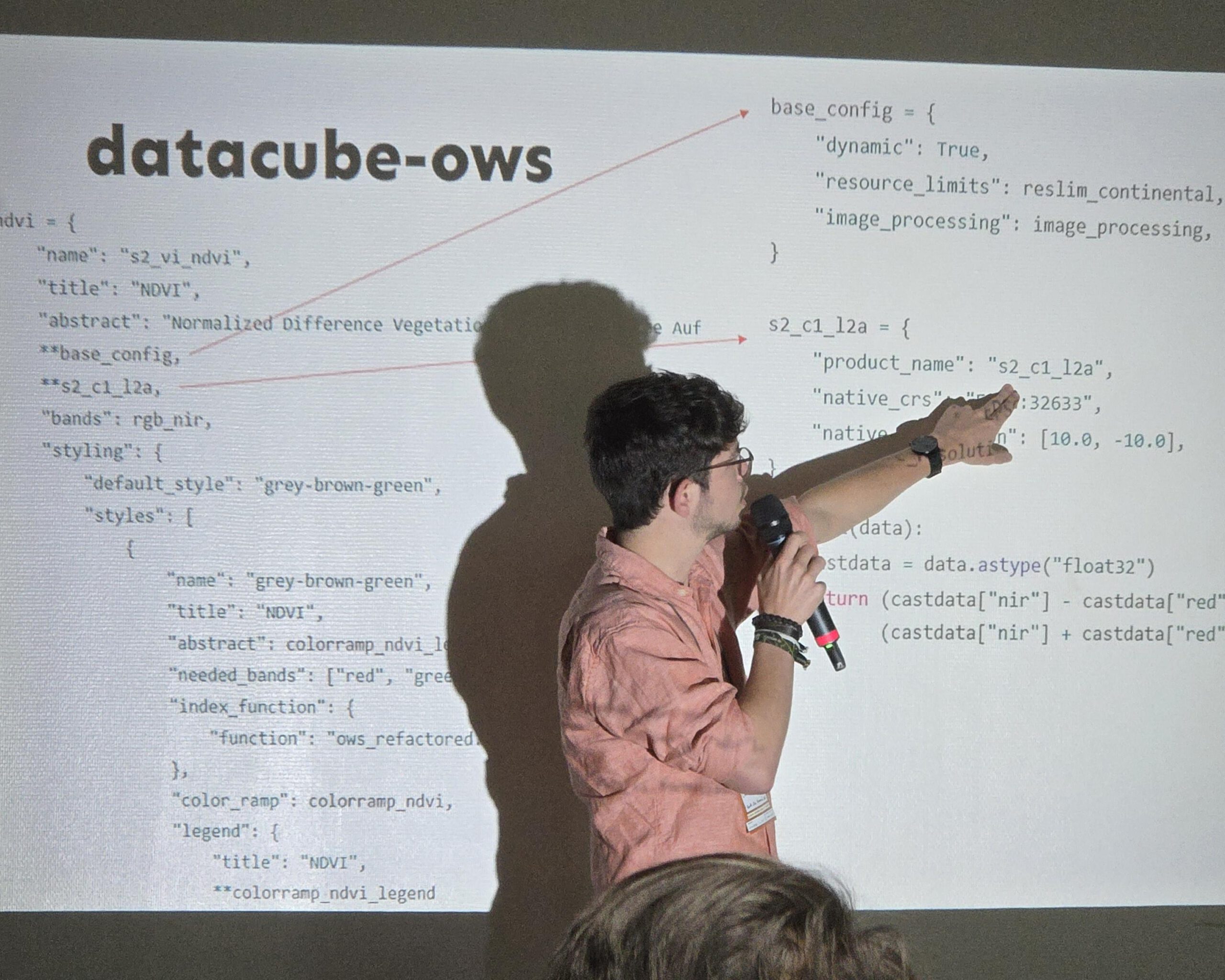
As a big open-source enthusiast, our staff member Christoph Friedrich travelled to Belém to showcase the EORC’s datacube in the academic track of the conference. His presentation (long abstract here) demonstrated how a combination of FOSS components can create a powerful system that handles large amounts of EO data for scientific analysis in interdisciplinary research projects. As such contexts make it particularly important to present the results meaningfully to domain end users, he gave an overview of both the internal system architecture as well as the various tools that visualise the results through user-friendly interfaces and easy-to-use web apps.
The conference was preceded by two days of workshops on topics such as cloud-native geospatial data formats or state-of-the-art web mapping libraries. The three main days were full of interesting talks and keynotes, with project maintainers reporting on the state of software, developers and researchers outlining emergent technologies, and community leaders detailing the efforts of global volunteer projects such as OpenStreetMap. Accordingly, the conference concluded with a “State of the Map” event, a QGIS user meeting, and a code sprint for those eager to hack together right then and there.
Overall, it was a comparatively small but again highly interesting FOSS4G conference! We are looking forward to the German language edition “FOSSGIS” that is to be held in Münster/Germany on 26-29 March 2025 as well as the next global event in Auckland/New Zealand on 17-23 November 2025!
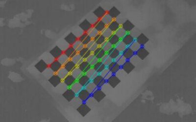
Geometric calibration study of our thermal UAS sensor
At the EORC we deploy a range of space-borne and UAS-based sensors for environmental research. While many systems come with established calibration procedures, some of our UAS sensors require dedicated validation and characterization to ensure scientifically reliable...


