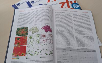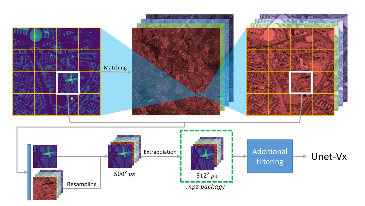

Our EAGLE student Konstantin Müller published together with our chairholder of the Deparment of Global Urbanization and Remote Sensing, Hannes Taubenboeck an article about DL for surface model generation. The article explores methods to extract high-resolution normalized digital surface models (nDSMs) from low-resolution Sentinel-2 data, enabling the creation of large-scale models. Leveraging the open access and global coverage of Sentinel 2, the study employs deep learning models, based on the U-Net architecture, with tailored multiscale encoders and conformed self-attention to achieve a mean height error of approximately 2m.
from the abstract: In recent history, normalized digital surface models (nDSMs) have been constantly gaining importance as a means to solve large-scale geographic problems. High-resolution surface models are precious, as they can provide detailed information for a specific area. However, measurements with a high resolution are time consuming and costly. Only a few approaches exist to create high-resolution nDSMs for extensive areas. This article explores approaches to extract high-resolution nDSMs from lowresolution Sentinel-2 data, allowing us to derive large-scale models. We thereby utilize the advantages of Sentinel 2 being open access, having global coverage, and providing steady updates through a high repetition rate. Several deep learning models are trained to overcome the gap in producing high-resolution surface maps from low-resolution input data. With U-Net as a base architecture, we extend the capabilities of our model by integrating tailored multiscale encoders with differently sized kernels in the convolution as well as conformed self-attention inside the skip connection gates. Using pixelwise regression, our U-Net base models can achieve a mean height error of approximately 2 m. Moreover, through our enhancements to the model architecture, we reduce the model error by more than 7%.
Link: https://ieeexplore.ieee.org/stamp/stamp.jsp?arnumber=10189905