DFG funded BETA-FOR workshop in the Bavarian Forest NP

DFG funded BETA-FOR workshop in the Bavarian Forest NP

April 2, 2023

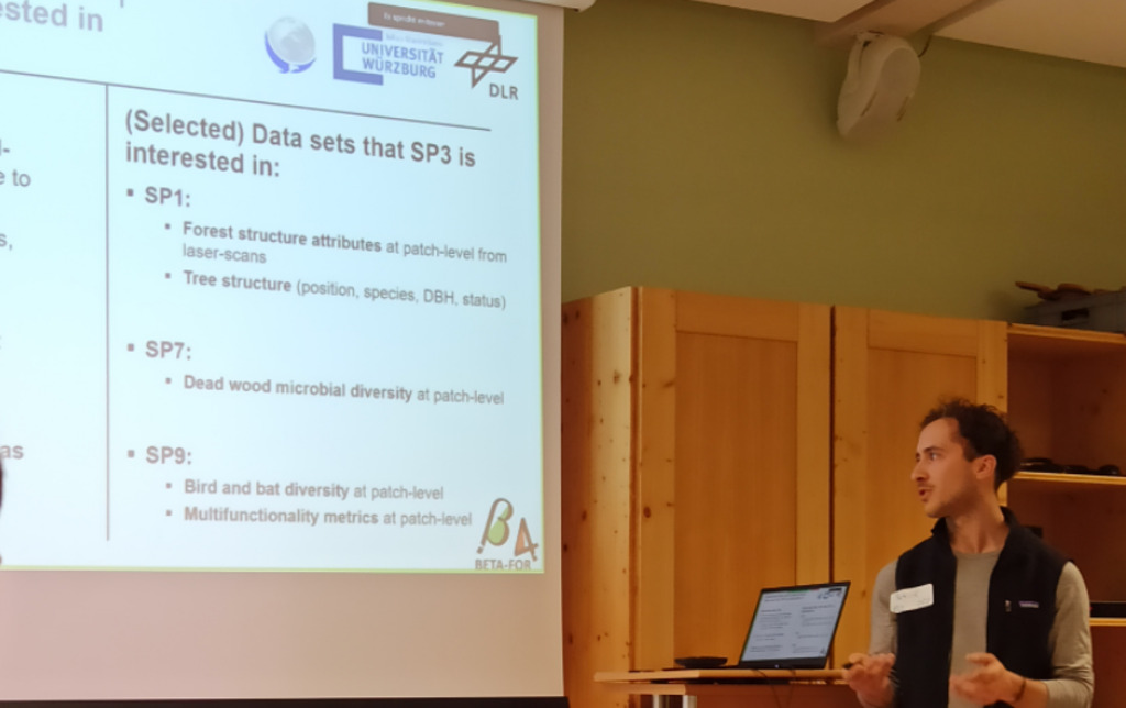
For three days members of the DFG funded project BETA-FOR met in the National Park Bavarian Forest and all groups presented their ongoing research. Dr. Mirjana Bevanda presented the various UAS based Earth Observation activities within the BETA-FOR study sites. She and her team acquire a whole series of multi-spectral, thermal and Lidar time-series data. Moreover, our PhD candidate Patrick Kacic also reported about his Earth Observation forest approaches based on space-borne  and air-borne sensors such as Sentinel-2. He also uses hyperspectral and radar data within his PhD thesis with respect to forest monitoring and status.

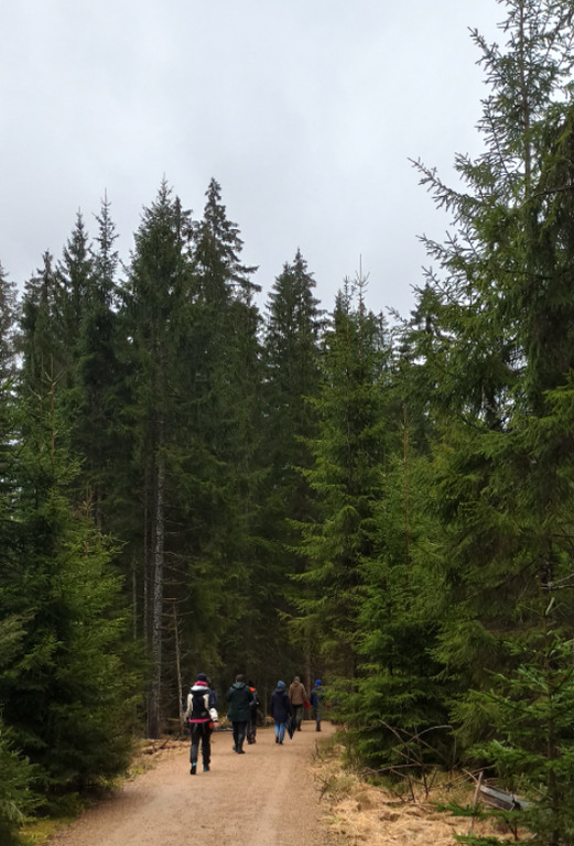
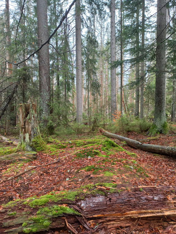
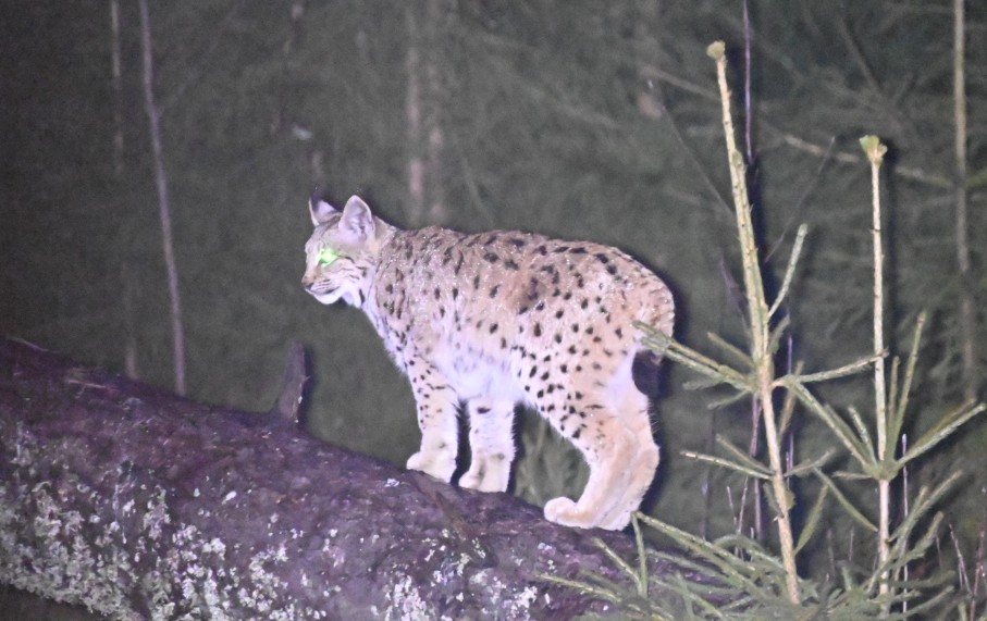
After the formal part of the scientific workshop all participants visited various sites in the National Park Bavarian Forest and some even went for spotting Lynx in the wild – and got lucky after more than 3 hours waiting in a hideout (image by Dr. Mirjana Bevanda).

you may also like:

Five Years of Data Cube Innovations in AgriSens DEMMIN 4.0

Five Years of Data Cube Innovations in AgriSens DEMMIN 4.0

Over the past five years, we made significant advancements with our Data Cube development within the AgriSens DEMMIN 4.0 project. We enhanced the system architecture and the offerings of the Data Cube to optimize the use of remote sensing data for agricultural...

Workshop on “Geodata, (social) media data and linguistics”

Workshop on “Geodata, (social) media data and linguistics”

On 26 February 2025, a workshop on "Geodata, (social) media data and linguistics" was held at DLR in Oberpfaffenhofen. Colleagues from the German Remote Sensing Data Center (DFD) of the DLR and from the Chair of English Linguistics as well as our Earth Observation...

UAS Team Acquires high alpine snow data

UAS Team Acquires high alpine snow data

In a remarkable display of teamwork, our UAS (Unoccupied Aerial Systems) team has successfully managed to overcome some technical obstacles present since last summer on UAS data collection in steep terrain and acquired a wealth of data using lidar, multispectral, and...