This week, DLR and EORC took part in the EO4Africa Symposium, an event organized by the European Space Agency (ESA) in partnership with the African Union Commission, the African Association of Remote Sensing of the Environment, the European Commission, EUMETSAT, and NASA. The symposium was hosted at ESA-ESRIN in Frascati, Italy, and focused on latest R&D EO science and applications achievements relevant for the African continent, facilitating international collaborations across Africa and Europe, and future EO missions, digital technology, and the related opportunities.
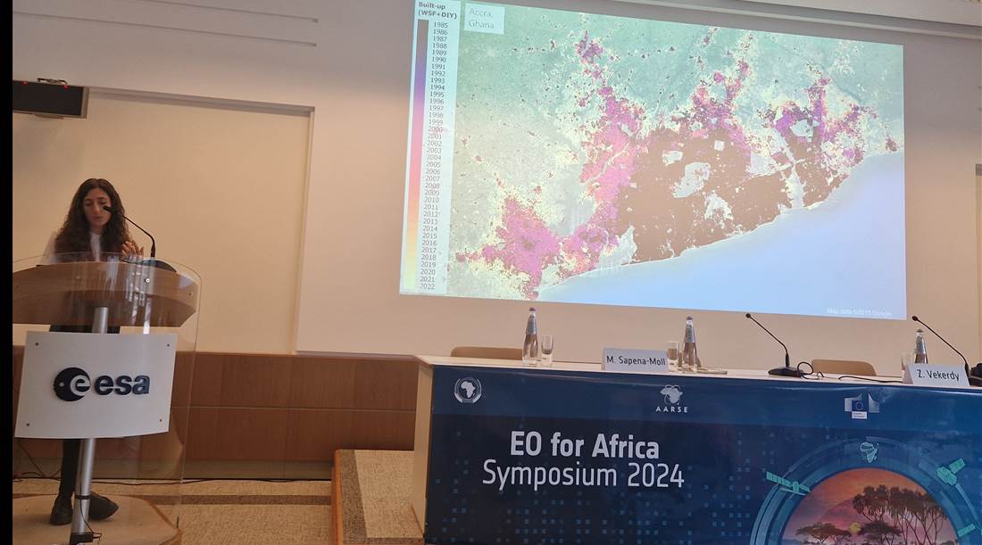
Our colleagues, Alexandra Bell and Dr. Marta Sapena, showcased their ongoing research and collaboration in Africa through insightful presentations and discussions.
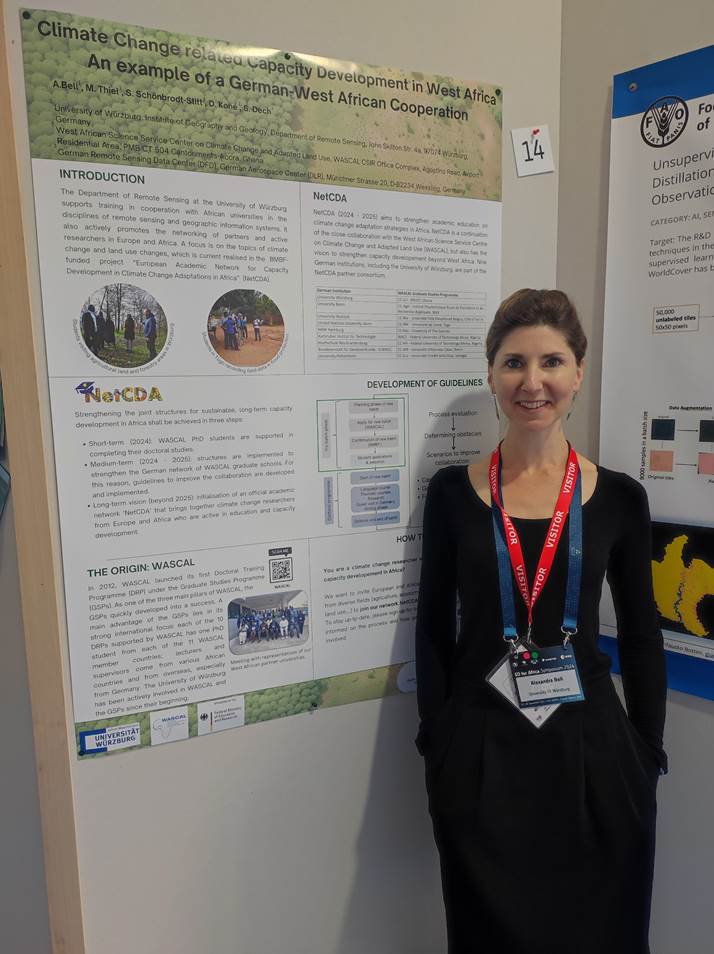
Alexandra Bell presented her work as part of the NetCDA project, with a poster titled, “Climate change related capacity development in West Africa – an example of a German-West African cooperation“.
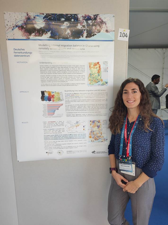
Dr. Marta Sapena co-chaired the “Urbanization” session alongside Dr. Zoltan Vekerdy from the University of Twente. In this session, she also delivered a presentation on the MIGRAWARE and FPCUP projects, titled, “Introduction to a cloud-based tool for on-demand urban expansion mapping in Africa: the DIY-BU-Mapping tool“. Additionally, she presented a poster on “Modelling internal migration balance in Ghana using remotely sensed drivers and census data“ offering innovative approaches to understanding urbanization and migration trends.
The EO4Africa symposium provided a dynamic platform for sharing knowledge and forging new partnerships, furthering the use of Earth Observation technologies for Africa’s development.
Here are the abstracts of our contributions:
Climate change related capacity development in West Africa – an example of a German-West African cooperation
Alexandra Bell1, Michael Thiel1, Sarah Schönbrodt-Stitt1, Daouda Koné2, Stefan Dech1,3
1 University of Würzburg, Institute of Geography and Geology, Department of Remote Sensing, John Skilton Str. 4a, 97074 Würzburg, Germany; 2 West African Science Service Center on Climate Change and Adapted Land Use, WASCAL CSIR Office Complex, Agostino Road, Airport Residential Area, PMB CT 504 Cantonments-Accra, Ghana; 3 German Remote Sensing Data Center (DFD), German Aerospace Center (DLR), Münchner Strasse 20, D-82234 Wessling, Germany
In 2012, the West African Science Centre on Climate Change and Adapted Land Use (WASCAL), which is dedicated to capacity development and strengthening the research infrastructure related to climate change, launched its first Doctoral Training Programme (DRP) under their Graduate Schools Program (GSP). As one of the three main pillars of WASCAL, the GSP has developed into a remarkable success, partially owing to its strong international orientation and network with more than 450 graduates. All WASCAL GSPs established to date have a German partner institution for the scientific visits of students in Germany. The Department of Remote Sensing at the University of Würzburg, among other partner institutions in Germany, has been involved in the WASCAL initiative since its beginning. A main work component is the support of West African partners in the three pillars of research, training, and technical support in the discipline of remote sensing and geographical information systems. Another important focus is placed on the support in further expanding and advancing the network of West African and German partners. This study aims to present past and future work in the realm of this international cooperation. A special focus is placed on the BMBF-funded project “European Academic Network for Capacity Development in Climate Change Adaptations in Africa” (NetCDA). NetCDA aims to strengthen academic education on climate change adaptation strategies in Africa by consolidating the joint structures of the German-West African cooperation. The long-term vision of the project is to initiate a European-African network for climate change researchers interested in contributing to education in Africa. Milestones in reaching the vision will be discussed, and engagement opportunities will be presented.
Introduction to a cloud-based tool for on-demand urban expansion mapping in Africa: the DIY-BU-Mapping tool
Marta Sapena1, Johannes Mast1, Christian Geiß1,2, Hannes Taubenböck1,3
1 German Aerospace Center (DLR), German Remote Sensing Data Center (DFD), Germany; 2 University of Bonn, Department of Geography, Germany; 3 Julius-Maximilians-Universität Würzburg, Institute of Geography and Geology, Germany
The rapid urbanization of Africa, driven by natural population growth and rural-to-urban migration, significantly impacts the environment and presents challenges for urban management. Monitoring and understanding these dynamics requires data that are accurate, up-to-date, and analysis-ready. Currently, this information is only provided by global products that are not tailored to the African context with documented high uncertainties in classification accuracies. The DIY-BU-Mapping tool is an open, cloud-based mapping tool designed to generate local analysis-ready data on urban expansion in African cities. It is intended for use by decision-makers, stakeholders, and the scientific community. The tool addresses the growing need for objective, accurate, frequent, and timely data in developing urban environments. It utilizes Sentinel-1 and Sentinel-2 imagery along with various data sources. The tool is designed to assist users with varying skill levels in the classification process, from data collection and preparation to final map production. It consists of two parts: The first one creates a sampling dataset using reference data from 2021. For built-up areas, ‘open buildings’ from Google or ‘building footprints’ from Microsoft are used as reference datasets, while the WorldCover v200 from ESA is used for other land covers. The second part performs the classification, starting with dividing the sample data into training and validation (70/30). For each year starting from 2016, Sentinel images are collected, clouds are masked, and several spectral, textural, and statistical indices are calculated. These, along with a slope map, are used as features in a random forest classifier that is trained for 2021 and applied to each year. To ensure that built-up pixels are consistent over time, a pixel change trajectory analysis is applied. The accuracy of the method was compared with reference data as well as with globally available datasets, such as Dynamic World, WorldCover, ESRI land cover, WSF2019, and GHSL2023. The findings indicate that the locally fine-tuned maps produced by our tool outperform existing global multi-temporal products. Furthermore, we discuss both the limitations and strengths of the tool and the resulting maps. We release both the tool and its code freely and openly to encourage the scientific community to use the code, fostering the advancement of new Earth observation applications.
Modelling internal migration balance in Ghana using remotely sensed drivers and census data
Marta Sapena1, Johannes Mast1, Justice Nana Inkoom2, Benjamin Kofi Nyarko3, Alina Schürmann4, Hannes Taubenböck1,5
1 German Aerospace Center, German Remote Sensing Data Center, Germany; 2 Martin Luther University Halle-Wittenberg, Department of Sustainable Landscape Development, Germany; 3 University of Cape Coast, Department of Geography and Regional Planning, Ghana; 4 Martin Luther University Halle-Wittenberg, Institute of Geosciences and Geography, Department of Geoecology, Germany; 5 Julius-Maximilians-Universität Würzburg, Institute of Geography and Geology, Germany
Migration in West Africa is driven by socio-economic, political, environmental and climatic factors. In Ghana, north-south migration has been linked to rainfall variability and soil degradation. This study uses Ghana’s 2021 census microdata to measure internal migration between districts and explores its drivers using remote sensing. The migration effectiveness index (MEI) measures the ability to attract, avoid or balance migration. It is the net to gross migration ratio and allows comparisons between districts. The MEI was calculated for recent migration based on residence five years earlier. We identified three million recent internal migrants in Ghana, representing 10% of the population. Aggregate values of remotely sensed data (derived from population and built-up classifications, night-time lights imagery, rainfall, burnt areas, land surface temperature data, vegetation indices, water and crop availability, and distance to coast) were calculated for the districts, including the mean for 2015, 2020 and the increase using the slope. We assume that these remotely sensed drivers impact migration. Correlations between the MEI and the drivers show, on the one hand, that higher out-migration is linked to higher temperatures (day and night), more consecutive dry days, droughts, heavy rainfall, and greater distance from the coast. On the other hand, higher in-migration is associated with greener areas, more rainy days, rising temperatures (day and night), more agricultural land, and urban growth. A multiple linear regression model was used to model MEI with a combination of several drivers. The model using aforementioned and other significant drivers can explain 52.5 % of the variance of MEI. Including additional socio-economic drivers from the census, such as migrant and male population proportions, improves the value to 60 %. This means that drivers derived from remote sensing data can support the study of internal migration and, despite some limitations, general internal migration trends can be modelled. In this study we show that the proxy of migration balance based on openly available remote sensing data allows for the development of migration policy and implementation. Especially in areas of infrequent censuses remote sensing supports the study of internal migration. Consequently, migration hotspots can be identified in a timely manner. Future research should evaluate the benefit of additional covariates, such as refugee camps, exposure to natural hazards, or information extracted from social media.