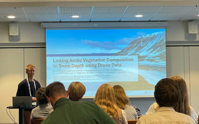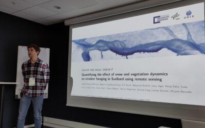

On July 01, 2025, Ronja Seitz will present her Master Thesis on Quantification of Plant Functional Groups and Disturbances of Tundra Vegetation in the High Arctic Using High-Resolution UAV Timeseries Data “
at 12:00 in seminar room 3, John-Skilton-Str. 4a.
From the abstract:
The high Arctic is warming rapidly and especially Svalbard belongs to one of the fastest
warming regions on the planet. Changes caused by climate change as well as human
activity put pressure on arctic tundra ecosystems. This study aimed to use high resolution
Unmanned Aerial Vehicle (UAV) times series data to map and analyze two kinds of
disturbances (vegetation damage from winter basal ground icing and goose grubbing)
and tundra vegetation types in a high-arctic tundra ecosystem. I created an innovative
workflow to train and apply a random forest model on a timeseries of bi-weekly high
resolution UAV imagery. 23 model input features were calculated based on red, green,
blue (RGB) imagery, multispectral (MS) imagery, a Digital Surface Model (DSM), and
change layers of timestamp-to-timestamp comparison. The overall model accuracy was
89.33 %, with a kappa value of 0.89. Four out of 6 change metrics are in the top ten most
important metrics based on the mean decrease accuracy, showing the potential of using a
time series to classify land cover. The resulting land cover maps have a spatial resolution
of 2 cm and show fine details in the highly heterogeneous and fine scaled tundra vegetation.
The results of the analysis of land cover over the time series adds a new dimension of
information about tundra vegetation dynamics and reveals for example a later green-up of
disturbed vegetation for two out of three moss tundra types. This thesis demonstrates the
potential of UAV time series to increase the accuracy of a land cover classification with
a random forest model, adding a depth of information which cannot be achieved through
single acquisitions.
1st supervisor: Dr. Mirjana Bevanda
2nd supervisor: Dr. Larissa Beumer, UNIS